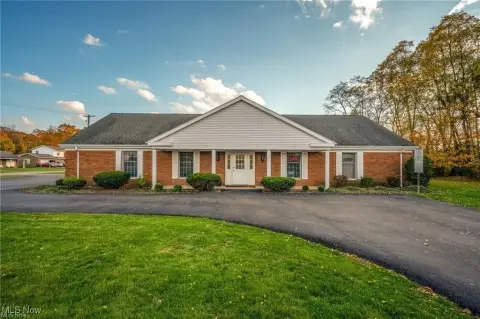
1065 S Liberty Ave Alliance, OH 44601
Property profile & analytics
1065 S Liberty Ave Alliance, OH 44601
- Commercial real estate
- 4,745 SF
- 0.24 lot acres
Property ID
US66-0171295
The Realmo ID is a unique identifier assigned to every property, incorporating country codes and precise geo-coordinates for 300x300-foot land blocks. It enables standardized data collection and seamless integration of disparate sources such as ownership, tax, title data and physical specifications. By aggregating current and historical records, the Realmo ID powers advanced analytics and delivers deep, verifiable insights for real estate professionals.
Location Intelligence
Current Use by Public Records
- Karrier Co LLC / Industrial Manufacturer / Production Facility
Property Details for 1065 S Liberty Ave
- Year built
- 1935
- Construction
- BRICK
- Lot size
- 0.24 lot acres
- Property size
- 4,745 SF
- Property type
- Commercial real estate
- APN
- 01-13651
- APU
- 113651
Description
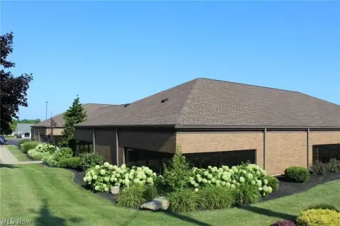
This exceptional industrial property, located at 1065 S Liberty Avenue S in Alliance, Ohio, presents a fantastic opportunity for a variety of businesses. The 5,000 square foot building is constructed of solid brick and sits on a 0.34-acre lot, offering ample space for operations and potential expansion. Its zoning permits Industrial Manufacturing and Light Assembly, providing flexibility for diverse uses such as warehousing, small-scale assembly, or automotive-related operations. The building itself is in excellent condition and is currently vacant, allowing for immediate occupancy. Key features include two handicapped-accessible bathrooms, two to three private office spaces, a convenient truck dock, and a loading dock for efficient loading and unloading of goods. The property's solid construction and versatile zoning make it an ideal choice for entrepreneurs and established businesses seeking a functional and well-maintained space in a prime Alliance location. The property's ready-for-use condition eliminates the need for extensive renovations, allowing for a quick start to operations. This is a rare opportunity to acquire a high-quality industrial space in a desirable location at an attractive price of $139,900.
Value Estimations
based on Realmo’s proprietary methodology
-
AI approach
-
CAP approach
-
Comparable approach
-
Alternative Use
Get a detailed, property-specific estimation — fast and free
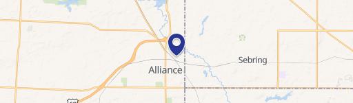
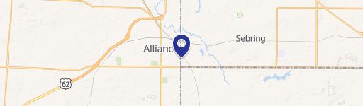
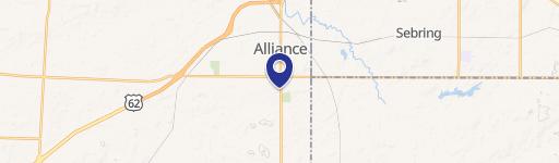
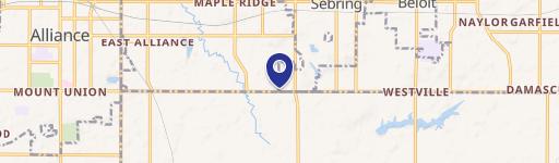
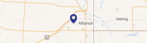
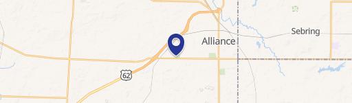
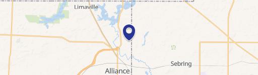
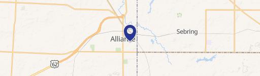
Location Insight
- Map
- Local Demand
- City
- Alliance
- County
- Stark
- State
- Ohio
- Longitude
- -81.0965
- Latitude
- 40.9109
- CBSA code
- 15940
- CBSA name
- CANTON-MASSILLON, OH METROPOLITAN STATISTICAL AREA
Property Tax & Assessments
Tax date
Tax Amount
Assessed Land Value
Assessed Improvement Value
Total Assessed Value
Applied Tax Rate
Land Market Value
Improvement Market Value
Total Market Value
2023
$429
$7,630
$5,950
$13,580
-
$21,800
$17,000
$38,800