Property profile & analytics
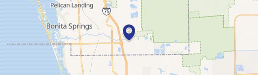
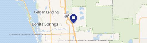
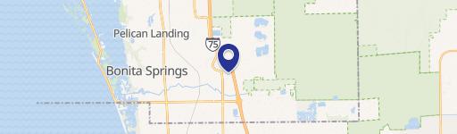
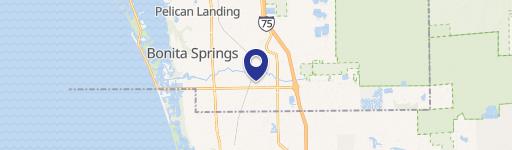
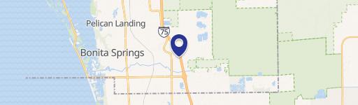
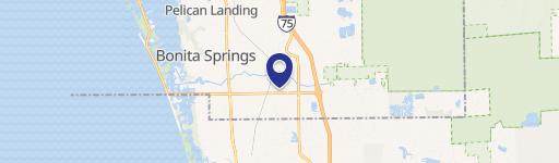
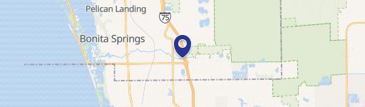
10550 Bonita Bch SE Rd Bonita Springs, FL 34135
- Commercial land
- 23.00 lot acres
OFF-MARKET
Value Estimations
Cap Rate Potential
Location Intelligence
Property ID
US18-3523787
The Realmo ID is a unique identifier assigned to every property, incorporating country codes and precise geo-coordinates for 300x300-foot land blocks. It enables standardized data collection and seamless integration of disparate sources such as ownership, tax, title data and physical specifications. By aggregating current and historical records, the Realmo ID powers advanced analytics and delivers deep, verifiable insights for real estate professionals.
Current Use by Public Records
- Commercial land
Property Details for 10550 Bonita Bch SE Rd
- Construction
- MASONRY/CONCRETE MASONRY UNITS (CMUS)
- Lot size
- 23.00 lot acres
- Zone code
- CPD
- Property type
- Commercial land
- APN
- 35-47-25-B3-00117.002B
- APU
- 354725B300117002B
Description
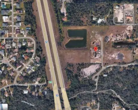
This exceptional Bonita Springs property offers a unique redevelopment opportunity encompassing approximately 32 acres of land, strategically positioned on Bonita Beach Road, west of I-75. The site includes parcels totaling approximately 22 acres with access from Bonita Beach Road and Old 41, and an additional 9.75 acres accessible from Bonita Beach Road and Harold Street. These parcels can be purchased individually or as a combined entity. The property boasts a prime location in a rapidly growing area, close to downtown Bonita Springs and just 4.2 miles from Barefoot Beach. High traffic counts on Bonita Beach Road and Old 41 underscore the significant commercial potential. The land is partially cleared and zoned for Commercial (CPUD), AG-2, and Residential uses, making it suitable for a variety of developments, including assisted living facilities, hotels, multifamily complexes, or retail ventures. The property's proximity to the new 30,000 square foot Greyhound Tract Facility further enhances its appeal. Two existing homes on Harold Street generate over $30,000 in annual rental income. The APN is 35-47-25-B3-00117.002B. Note: Buyer is responsible for a 5% annualized carry cost of the contract price per month during due diligence
Value Estimations
based on Realmo’s proprietary methodology
-
AI approach
-
CAP approach
-
Comparable approach
-
Alternative Use
Get a detailed, property-specific valuation — fast and free
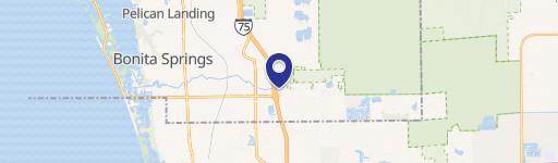
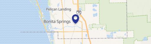
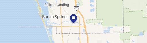
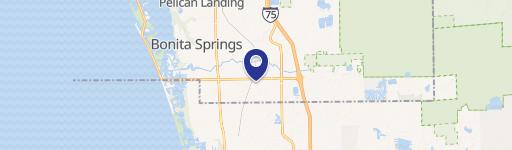
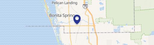
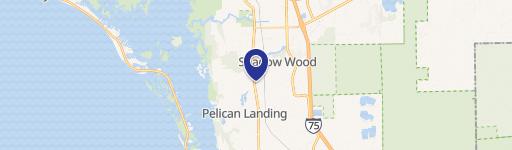
Location Insight
- Map
- Local Demand
- City
- Bonita Springs
- County
- Lee
- State
- Florida
- Longitude
- -81.7759
- Latitude
- 26.3324
- CBSA code
- 15980
- CBSA name
- CAPE CORAL-FORT MYERS, FL METROPOLITAN STATISTICAL AREA
Property Tax & Assessments
Tax date
Tax Amount
Assessed Land Value
Assessed Improvement Value
Total Assessed Value
Applied Tax Rate
Land Market Value
Improvement Market Value
Total Market Value
2023
$150,235
$20,037,600
$0.00
$20,037,600
-
$20,037,600
$0.00
$20,037,600