Property profile & analytics
1051 Penrod Rd Show Low, AZ 85901
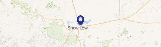
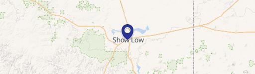
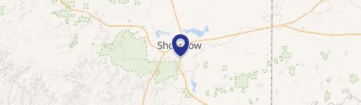
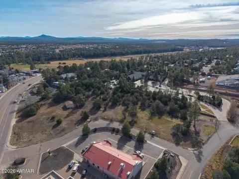
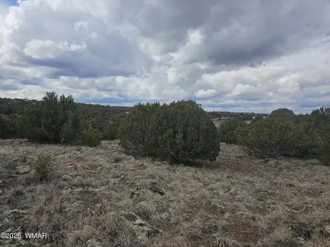
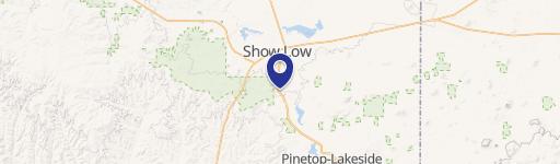
This 2.31-acre commercial property is located on Arizona Highway 77, approximately 360 feet from the intersection of Highway 60 and Highway 77. The parcel is situated on the right side when traveling north on Highway 77 from Highway 60 East out of Show Low. The property benefits from its location in a high-traffic area near a Maverick Convenience store and is zoned for commercial use.
- Retail properties & Spaces
- 2.31 lot acres
OFF-MARKET
Value Estimations
Cap Rate Potential
Location Intelligence
Property ID
US07-1545591
The Realmo ID is a unique identifier assigned to every property, incorporating country codes and precise geo-coordinates for 300x300-foot land blocks. It enables standardized data collection and seamless integration of disparate sources such as ownership, tax, title data and physical specifications. By aggregating current and historical records, the Realmo ID powers advanced analytics and delivers deep, verifiable insights for real estate professionals.
Current Use by Public Records
- Retail properties & Spaces
Property Details for 1051 Penrod Rd
- Lot size
- 2.31 lot acres
- Zone code
- MUNICIPAL
- Property type
- Retail properties & Spaces
- APN
- 210-61-015
- APU
- 21061015
Property Overview
This 2.31-acre commercial property is located on Arizona Highway 77, approximately 360 feet from the intersection of Highway 60 and Highway 77. The parcel is situated on the right side when traveling north on Highway 77 from Highway 60 East out of Show Low. The property benefits from its location in a high-traffic area near a Maverick Convenience store and is zoned for commercial use.
Value Estimations
based on Realmo’s proprietary methodology
-
AI approach
-
CAP approach
-
Comparable approach
-
Alternative Use
Get a detailed, property-specific valuation — fast and free
Location Insight
- Map
- Local Demand
- City
- Show Low
- County
- Navajo
- State
- Arizona
- Longitude
- -110.018
- Latitude
- 34.2594
- CBSA code
- 43320
- CBSA name
- SHOW LOW, AZ MICROPOLITAN STATISTICAL AREA
Property Tax & Assessments
Tax date
Tax Amount
Assessed Land Value
Assessed Improvement Value
Total Assessed Value
Applied Tax Rate
Land Market Value
Improvement Market Value
Total Market Value
2023
$2,042
$22,640
$0.00
$22,640
-
$125,780
$0.00
$125,780