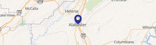
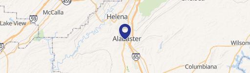
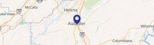
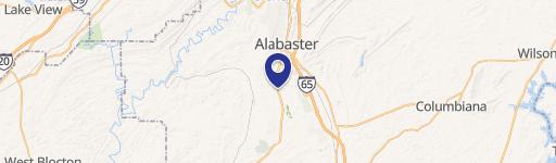
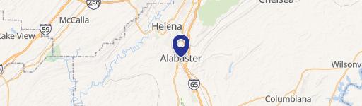
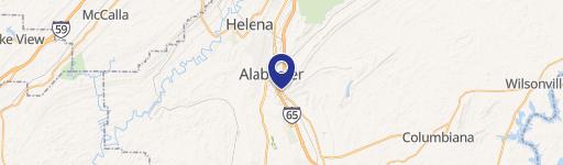
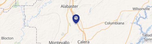
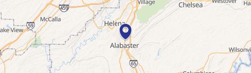
1042 Hwy 31 Alabaster, AL 35007
Property profile & analytics
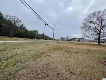
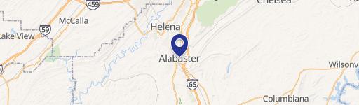
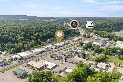
1042 Hwy 31, Alabaster, AL 35007
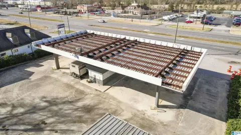
- Grocery and convenience stores
- 2,800 SF
- 1.00 lot acres
Property ID
US03-1057120
The Realmo ID is a unique identifier assigned to every property, incorporating country codes and precise geo-coordinates for 300x300-foot land blocks. It enables standardized data collection and seamless integration of disparate sources such as ownership, tax, title data and physical specifications. By aggregating current and historical records, the Realmo ID powers advanced analytics and delivers deep, verifiable insights for real estate professionals.
Location Intelligence
Current Use by Public Records
- Grocery and convenience stores
Property Details for 1042 Hwy 31
- Year built
- 1998
- Construction
- MASONRY/CONCRETE MASONRY UNITS (CMUS)
- Lot size
- 1.00 lot acres
- Property type
- Grocery and convenience stores
- APN
- 224170000042007
- APU
- 224170000042007
Sales History
| Date | Price | Buyer | Seller | Deed Type | Mortgage |
|---|---|---|---|---|---|
| Jun 24, 2016 | — | Aarav Smart Group LLC | — | Deed · related | $918k · First Partners Bk |
| Oct 26, 2012 | — | Jared Properties | Owner Name Unavailable | Grant Deed | — |
| — | — | Akf INC | — | Deed Of Trust · related | $946k · United Central Bank |
| — | — | Aarav Smart Group LLC | — | Deed Of Trust · related | $918k · First Partners Bk |
Value Estimations
based on Realmo’s proprietary methodology
-
AI approach
-
CAP approach
-
Comparable approach
-
Alternative Use
Get a detailed, property-specific estimation — fast and free
Location Insight
- Map
- Local Demand
- City
- Alabaster
- County
- Shelby
- State
- Alabama
- Longitude
- -86.7762
- Latitude
- 33.2003
- CBSA code
- 13820
- CBSA name
- BIRMINGHAM-HOOVER, AL METROPOLITAN STATISTICAL AREA
Property Tax & Assessments
Tax date
Tax Amount
Assessed Land Value
Assessed Improvement Value
Total Assessed Value
Applied Tax Rate
Land Market Value
Improvement Market Value
Total Market Value
2023
$10,136
$0.00
$0.00
$187,700
-
$320,170
$618,280
$938,450