
New search
Property profile & analytics
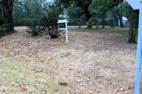
OFF-MARKET
Commercial real estate
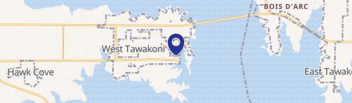
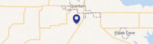
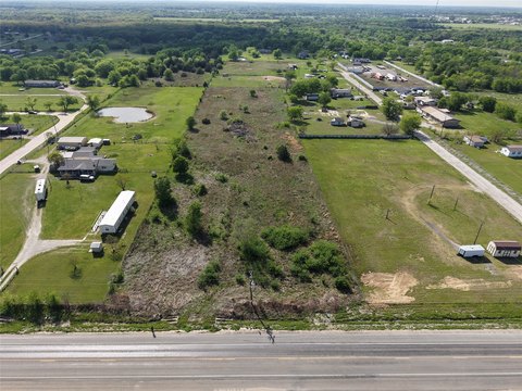
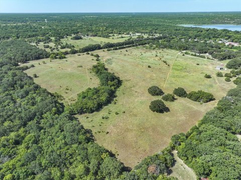
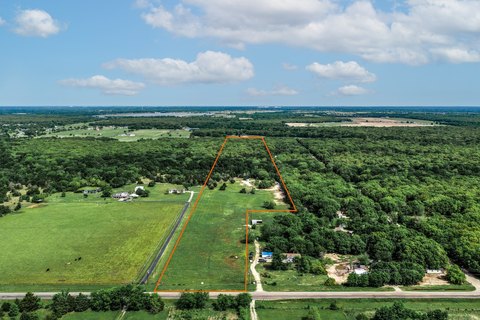
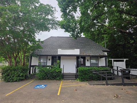
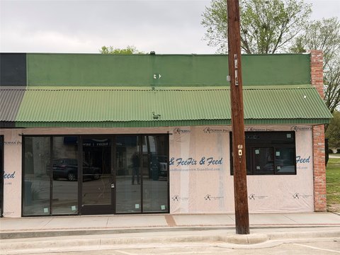
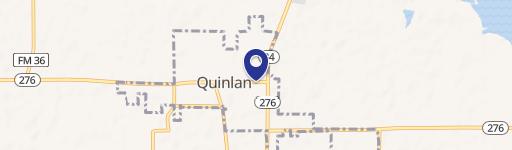
1030 State Hwy 276, West Tawakoni, TX 75474
Entity Owned
17-yr Hold
Free & Clear
Property ID
US82-5413703
Property profile
Verified
Property type
Commercial real estate
Use group
COMMERCIAL (GENERAL)
Year built
1980
Total area
1,200 SF
Lot
0.15 ac (6,665 SF)
APN
3625-0110-0180-58
UPID
US82-5413703
Cap rate & NOI
Priority signal for investors
Implied cap rate, NOI & suggested price
Cap rate vs submarket · NOI estimate · 3 price anchors
Implied cap rate, NOI & suggested price
Cap vs submarket · NOI estimate · 3 price anchors
Value estimations
Realmo proprietary · 4 methods
AI Approach
AI
by Request
CAP Approach
CAP
by Request
Comparable Approach
Comparable
by Request
Blend (final)
Blend
by Request
Owner & transaction history
City Of West Tawakoni · 17 yrs held
City Of West Tawakoni
since 2009
1 recorded transaction
Zoning & alternative use
Permitted uses
Permitted uses
Allowed · conditional · prohibited
Cap rate
Implied · in-place · derived from last sale + estimated NOI
Implied Cap rate
#1
Implied · in-place · NOI ÷ last sale
In-place · derived from last sale + estimated NOI
Cap rate, NOI & submarket benchmark
Implied cap rate vs West Tawakoni submarket · NOI estimate · Typical band, median & reading
Implied cap rate, NOI & submarket benchmark
Cap vs West Tawakoni submarket · NOI estimate · typical band, median & reading
Refine your cap rate
8-question underwriting flow
1.
Property current status — Going-In vs Stabilized
2.
Price for denominator — asking / offer / market
3.
Leasing status & lease structure (NNN / Gross)
4.
Tenant risk profile & vacancy assumption
5.
Upload T12 / rent roll / OM (optional)
Refine in 60 seconds, get exact suggested price
T12 upload · Submarket benchmarks · Sensitivity grid
Suggested price · 3 cap rate anchors
Income approach @ 5% / 7% / 9% — aggressive / typical / conservative
Suggested price at 5% / 7% / 9% cap
Aggressive / typical / conservative · Implied $/SF per anchor · Sensitivity grid
Suggested price at 5% / 7% / 9% cap
Aggressive / typical / conservative · implied $/SF · sensitivity
Value
AI, CAP & Alternative Use estimations · Realmo proprietary blendValue Estimations
Based on Realmo’s proprietary methodology
AI Approach
CAP Approach
Comparable Approach
Alternative Use
Get a detailed, property-specific estimation — fast and free
Price per SF
Sale + rent benchmarks
Subject property
—
Submarket sale & rent benchmarks
Median sale $/SF · Asking & closed rent · Submarket vacancy
Submarket sale & rent benchmarks
Median sale $/SF · asking & closed rent · submarket vacancy
Property tax & assessments
Tax year 2022Property tax & assessments
Tax year 2022
Tax billed
$415
Tax year 2022
Assessed value
$29,390
Assessed 2023
Previous assessed
$20,420
+43.9% YoY
Effective rate
1.41%
On assessed value
Assessed land
$15,330
Assessed improvement
$14,060
Land market value
$15,330
Improvement market value
$14,060
Total market value
$29,390
Comparables
6 recent transactions · within 1.5 miComparable in this city
6 recent transactions
Comparable in this City

Similar Nearby for Sale
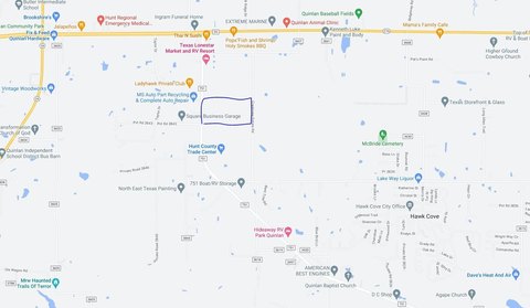
Similar Nearby for Lease
Recent comparable sales
Sale price & price/SF · Sale date & distance · Adjustments & confidence
Recent comparable sales
Sale price & $/SF · sale date & distance · adjustments
Property description
Physical attributes from public recordsBuilding & lot
Public records
Property type
Commercial real estate
Use group
COMMERCIAL (GENERAL)
Status
Off-Market
Year built
1980
Heating
NONE
Stories
1
Total area
1,200 SF
Lot
0.15 ac (6,665 SF)
APN
3625-0110-0180-58
UPID
US82-5413703
Jurisdiction
HUNT
Metro division
DALLAS-PLANO-IRVING, TX METROPOLITAN DIVISION
Zoning & alternative use
Zoning · permitted uses
Permitted & conditional uses
Allowed uses · Special-permit conditions · Prohibited uses
Permitted & conditional uses
Allowed · special-permit conditions · prohibited
Building & site characteristics
From public records
Year built
1980
Heating
NONE
Stories
1
Lot
0.15 ac
Current owner
From public records · entity-resolved
City Of West Tawakoni
Entity
Free & Clear · 17 yrs held
Mailing address
2931 RDG RD STE #101, ROCKWALL, TX 75032-6684
Ownership since
2009
Owner contacts — direct phone, email, and related entities
Decision-maker phone · Verified email · Related entities & filings
Owner contacts
Email · phone · related entities
Sales History
1 recorded event · public records
Date
Price
Buyer
Seller
Deed Type
Mortgage
Jul 1, 2009
—
City Of West Tawakoni
Owner Name Unavailable
Grant Deed
—
Coming soon
Costs & Benchmarks
Operating expenses, capex projections, utility benchmarks, and submarket comparables — all in one view.
Coming soon
Risks
Flood, climate, environmental, title, and tenant-concentration risk — surfaced with mitigations and source citations.
Try Rey
Ask anything about this address in plain English.
“Is 15.6% cap rate sustainable?” · “Best tenant mix for BU1?” · “What’s the redev upside?”
You own 1030 State Hwy 276?
List it free. Reach 20,000 daily buyers.
We’ve already pulled the facts. Confirm photos + price and you’re live in 2 minutes.
List this address →
Full reports are paid
Unlock the full Property Analytics report
Start free for 7 days — no card required. Full owner contacts, all 4 valuations with methodology, refine flow, comparable adjustments, foot-traffic deep dive, export to PDF / CSV.


