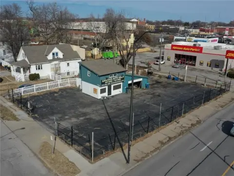
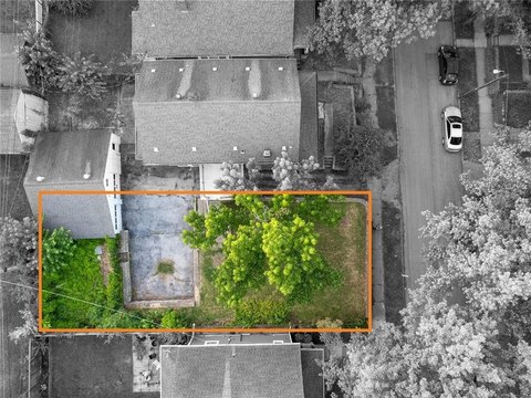
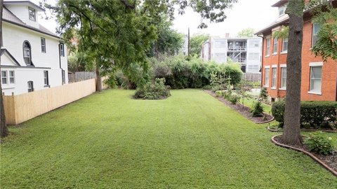
1023 39th St Kansas City, MO 64111
- Commercial land
- 0.40 lot acres
Current Use by Public Records
- Commercial land
Property Details for 1023 39th St
- Lot size
- 0.40 lot acres
- Property type
- Commercial land
- APN
- 30-340-05-05
- APU
- 303400505
Description
This exceptional 17,709 square foot commercial land parcel is ideally situated in Kansas City, Missouri's vibrant Midtown area, at 1023 W 39th St, zip code 64111, within Jackson County. The property boasts a highly desirable location on the 39th Street Corridor, offering excellent visibility and accessibility. Its zoning designation, B3-2 and R-5, allows for a wide range of commercial and residential development possibilities. The lot features a significant advantage with two curb cuts on both 39th Street and Roanoke Road, providing convenient access and ample opportunity for vehicular traffic flow. Currently, the site is striped for 35 parking stalls, demonstrating its immediate potential for various uses. The asking price for this strategically positioned land is $745,000. The APN is 30-340-05-05-00-0-00-000. This presents a unique investment opportunity in a thriving Kansas City neighborhood.
Value Estimations
-
AI approach
-
CAP approach
-
Comparable approach
-
Alternative Use
Get a detailed, property-specific valuation — fast and free
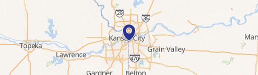
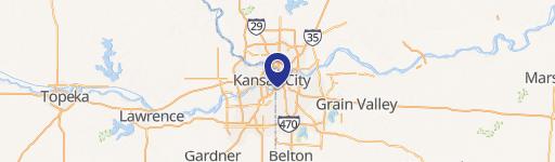
Location Insight
- Map
- Local Demand
- City
- Kansas City
- County
- Jackson
- State
- Missouri
- Longitude
- -94.5994
- Latitude
- 39.0568
- CBSA code
- 28140
- CBSA name
- KANSAS CITY, MO-KS METROPOLITAN STATISTICAL AREA