1011 2Nd St SW Roanoke, VA 24016
Property profile & analytics
1011 2Nd St SW Roanoke, VA 24016
- Industrial properties
- 3,294 SF
- 0.18 lot acres

Property ID
US87-1269017
The Realmo ID is a unique identifier assigned to every property, incorporating country codes and precise geo-coordinates for 300x300-foot land blocks. It enables standardized data collection and seamless integration of disparate sources such as ownership, tax, title data and physical specifications. By aggregating current and historical records, the Realmo ID powers advanced analytics and delivers deep, verifiable insights for real estate professionals.
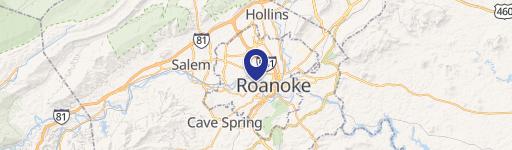
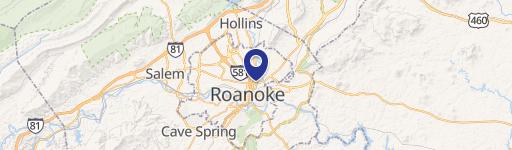
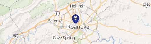
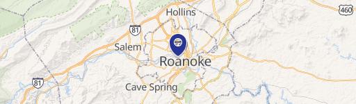
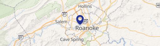
Location Intelligence
Current Use by Public Records
- SiteVision, Inc. / Marketing & Advertising / (Bike/Boat/Book/etc) Store
- MedEvac WeatherSAFE / (Bike/Boat/Book/etc) Store / Corporate Office
Property Details for 1011 2Nd St SW
- Year built
- 1939
- Construction
- WOOD
- Lot size
- 0.18 lot acres
- Property size
- 3,294 SF
- Zone code
- MX
- Property type
- Industrial properties
- Property subtype
- Industrial live-work properties
- APN
- 102-2209
- APU
- 1022209
Description
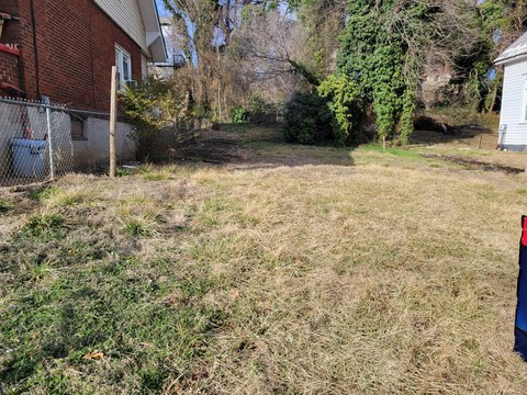
This charming 1,818-square-foot office space, located at 1011 2nd Street SW in Roanoke, Virginia's Old Southwest submarket, is situated on a 0.18-acre lot. The building, constructed in 1939, is a two-story, Class C property with a single tenant occupancy. The space features a reception area, four individual offices, a dedicated conference room, and a convenient break room/kitchenette. The property offers seven total parking spaces. The building's traditional office layout is complemented by its creative office suitability, making it ideal for a variety of professional uses, including law firms, financial planning services, or other similar businesses. Its prime location between Highland Ave SW and Albemarle offers excellent visibility and accessibility. The surrounding area boasts a mix of professional offices, including wealth advisory firms and law offices, and a recently opened café is located within a short distance. The property's zoning is MX. The building does not include elevators. This is a single-tenant space within a larger building totaling 3,294 square feet. The property presents a unique opportunity to establish a presence in a vibrant and established professional district.
Value Estimations
based on Realmo’s proprietary methodology
-
AI approach
-
CAP approach
-
Comparable approach
-
Alternative Use
Get a detailed, property-specific estimation — fast and free
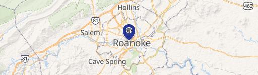
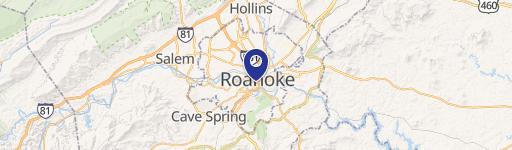
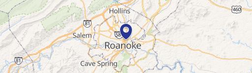
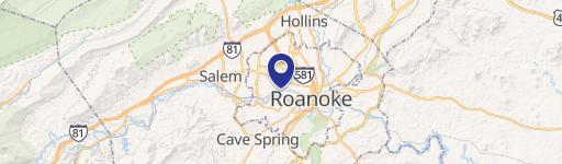
Location Insight
- Map
- Local Demand
- City
- Roanoke
- County
- Roanoke City
- State
- Virginia
- Longitude
- -79.944
- Latitude
- 37.2642
- CBSA code
- 40220
- CBSA name
- ROANOKE, VA METROPOLITAN STATISTICAL AREA
Property Tax & Assessments
Tax date
Tax Amount
Assessed Land Value
Assessed Improvement Value
Total Assessed Value
Applied Tax Rate
Land Market Value
Improvement Market Value
Total Market Value
2024
$4,150
$70,100
$243,400
$313,500
-
$70,100
$243,400
$313,500