1010 Currie Ave Minneapolis, MN 55403-1309
Property profile & analytics
1010 Currie Ave Minneapolis, MN 55403-1309
- Commercial land
- 41,646 SF
- 0.66 lot acres
Property ID
US46-0546592
The Realmo ID is a unique identifier assigned to every property, incorporating country codes and precise geo-coordinates for 300x300-foot land blocks. It enables standardized data collection and seamless integration of disparate sources such as ownership, tax, title data and physical specifications. By aggregating current and historical records, the Realmo ID powers advanced analytics and delivers deep, verifiable insights for real estate professionals.
Location Intelligence
Current Use by Public Records
- The Salvation Army Harbor Light Center, Minneapolis / Charitable Organization / Social Service Agency
- TC / Hardware & Home Improvement / Building Supply
- Psychology Communications / Law Firm
- Harbor Light Center - Food Distribution Center / Food Bank / Charitable Organization
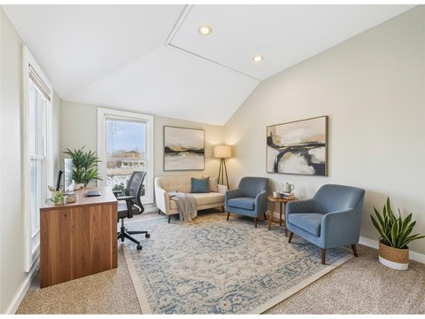
Property Details for 1010 Currie Ave
- Year built
- 1925
- Construction
- CONCRETE
- Lot size
- 0.66 lot acres
- Property size
- 41,646 SF
- Zone code
- B4C-1
- Property type
- Commercial land
- APN
- 22-029-24-34-0058
- APU
- 2202924340058
Value Estimations
based on Realmo’s proprietary methodology
-
Comparable approach
- Method
- Estimation
- Statistic Estimate
- $3,745,000
Market price range: $3.75M - $9.13M
Get a detailed, property-specific estimation — fast and free
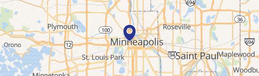
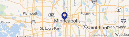
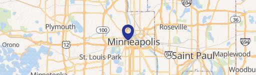
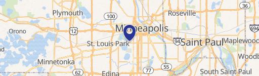
Location Insight
- Map
- Local Demand
- City
- Minneapolis
- County
- Hennepin
- State
- Minnesota
- Longitude
- -93.2797
- Latitude
- 44.9782
- CBSA code
- 33460
- CBSA name
- MINNEAPOLIS-ST. PAUL-BLOOMINGTON, MN-WI METROPOLITAN STATISTICAL AREA
Property Tax & Assessments
Tax date
Tax Amount
Assessed Land Value
Assessed Improvement Value
Total Assessed Value
Applied Tax Rate
Land Market Value
Improvement Market Value
Total Market Value
2023
$3,388
$150,000
$0.00
$150,000
-
$150,000
$0.00
$150,000