
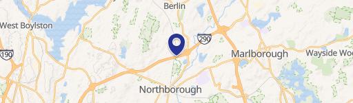
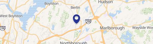
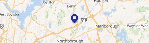
100 Bearfoot Rd, Northborough, MA 01532-1530
This exceptional industrial flex space, located at 100 Bearfoot Rd in Northborough, Massachusetts, offers a total of 17,505 square feet in a single-tenant building. The property boasts 14,580 square feet of readily available vacant space, perfect for immediate occupancy. Situated on a generous five-acre lot, this warehouse features a substantial 30-foot ceiling height, providing ample vertical space for various operational needs. Two loading docks ensure efficient loading and unloading processes. The property is equipped with robust three-phase power, offering up to 800 amps at 420V, suitable for power-intensive operations. The zoning is designated as Industrial, allowing for a wide range of industrial and flex uses. Its strategic location in Worcester County provides unparalleled access to major transportation arteries. Less than a mile from Route 290, three miles from Route 495, and ten miles from the Mass Pike (I-90), this property offers seamless connectivity throughout the region. Furthermore, its proximity to the Solomon Pond Mall adds to its appeal and accessibility. This property presents a unique opportunity for businesses seeking a well-located, spacious, and functional industrial or flex space in a thriving area. The property is zoned for industrial use and is located in the 01532 zip code.
-
Maerkisches Werk of North America, Inc. Big Box & Wholesale Store
Cap rate
Implied · in-place · derived from last sale + estimated NOIValue
AI, CAP & Alternative Use estimations · Realmo proprietary blendProperty tax & assessments
Tax year 2024Comparables
6 recent transactions · within 1.5 miComparable in this City

Similar Nearby for Sale

Property description
Physical attributes from public recordsZoning & alternative use
I · Northborough, MANorthborough. Always verify with local authorities before improvements.
Costs & Benchmarks
Operating expenses, capex projections, utility benchmarks, and submarket comparables — all in one view.
Risks
Flood, climate, environmental, title, and tenant-concentration risk — surfaced with mitigations and source citations.


