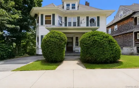
10 Slater St Port Chester, NY 10573-4925
Property profile & analytics
10 Slater St, Port Chester, NY 10573-4925
- Warehouses
- 21,000 SF
- 1.04 lot acres
Property ID
US63-3923541
The Realmo ID is a unique identifier assigned to every property, incorporating country codes and precise geo-coordinates for 300x300-foot land blocks. It enables standardized data collection and seamless integration of disparate sources such as ownership, tax, title data and physical specifications. By aggregating current and historical records, the Realmo ID powers advanced analytics and delivers deep, verifiable insights for real estate professionals.
Location Intelligence
Current Use by Public Records
- STRAUSS PAPER / Big Box & Wholesale Store
Property Details for 10 Slater St
- Year built
- 1978
- Lot size
- 1.04 lot acres
- Zone code
- M2 INDUST
- Property type
- Warehouses
- APN
- 554801 142.46-1-5
- APU
- 5548011424615
Sales History
| Date | Price | Buyer | Seller | Deed Type | Mortgage |
|---|---|---|---|---|---|
| Feb 23, 2018 | — | Slater Realty Co LLC | — | Deed · related | $2.6M · Peoples United Bank |
| — | — | Slater Realty Co LLC | — | Deed Of Trust · related | $2.4M · Td Bk NA |
| — | — | Slater Realty Co LLC | — | Loan Modification · related | $7M · People's United Bk |
Value Estimations
based on Realmo’s proprietary methodology
-
AI approach
-
CAP approach
-
Comparable approach
-
Alternative Use
Get a detailed, property-specific estimation — fast and free
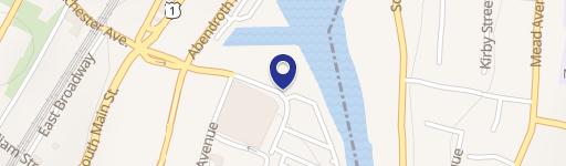
Location Insight
- Map
- Local Demand
- City
- Port Chester
- County
- Westchester
- State
- New York
- Longitude
- -73.6674
- Latitude
- 40.9959
- CBSA code
- 35620
- CBSA name
- NEW YORK-NORTHERN NEW JERSEY-LONG ISLAND, NY-NJ-PA METROPOLITAN STATISTICAL AREA
Property Tax & Assessments
Tax date
Tax Amount
Assessed Land Value
Assessed Improvement Value
Total Assessed Value
Applied Tax Rate
Land Market Value
Improvement Market Value
Total Market Value
2020
$0.00
$1,441,300
$904,000
$2,345,300
-
$1,441,300
$904,000
$2,345,300