10 S Main St Dubuque, IA 52001
 For Sale
1 / 3
For Sale
1 / 3
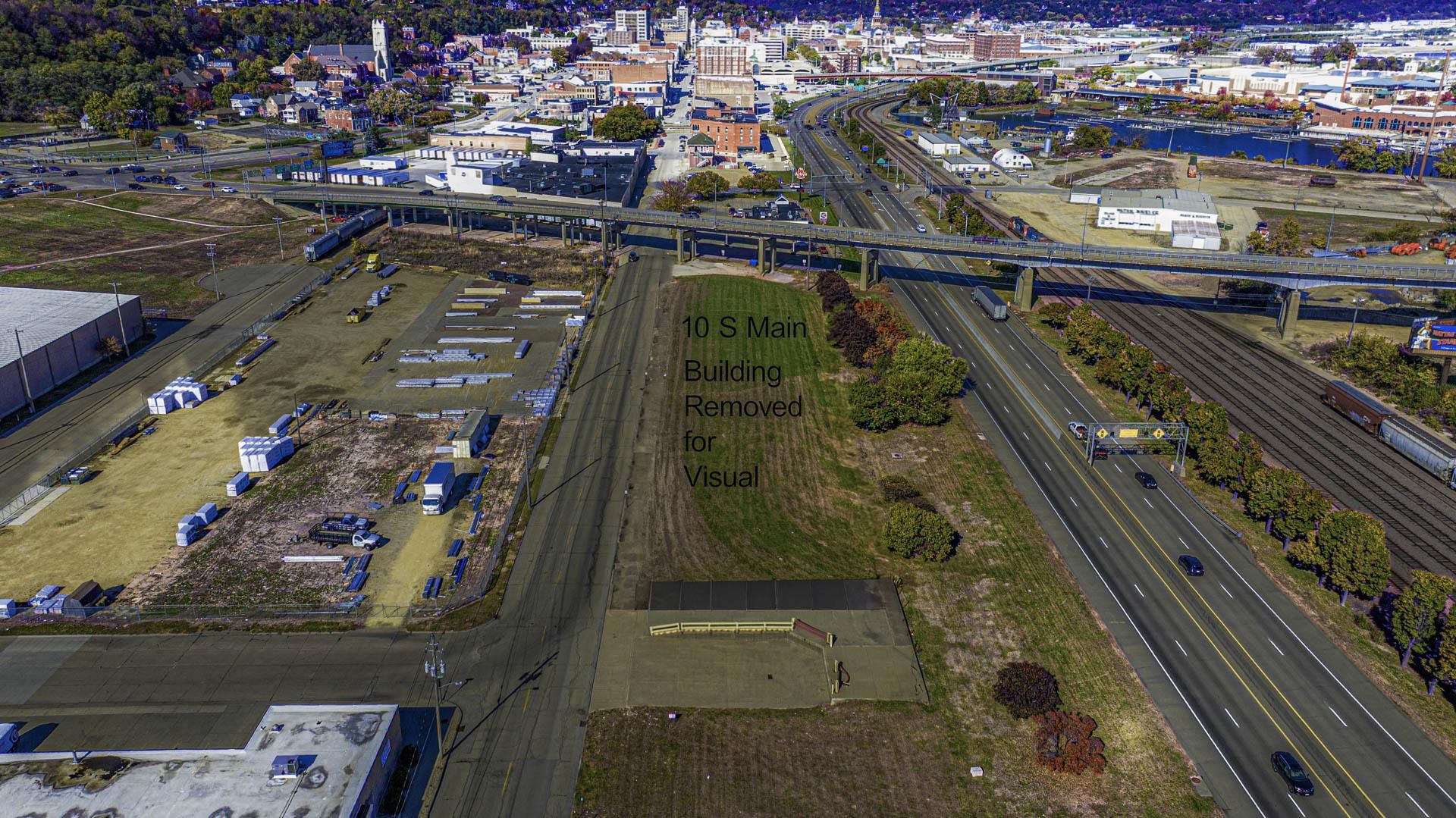
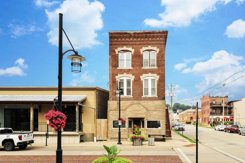
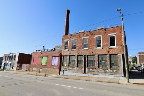
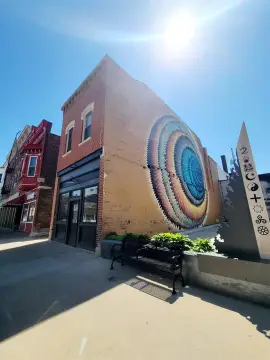
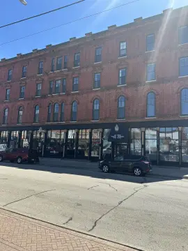
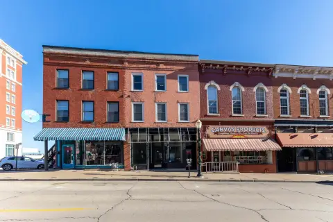
This 1.01-acre industrial land parcel in Dubuque County, Iowa, is ideally situated near the intersection of Highways 20, 52, 61, and 151, offering excellent accessibility. Zoned LI Light Industrial (verify permitted uses via the zoning ordinance), the property features level to rolling topography. The City of Dubuque is accepting proposals for either a cash sale with a minimum price of $785,495 or a long-term lease with a minimum annual rent of $94,259 (subject to an annual cost-of-living adjustment, with a maximum lease term of 25 years). The property is being sold "as is, where is" with all faults; the buyer is responsible for all due diligence, including surveys, testing, inspections, and investigations. A detailed proposal is required, including proposed use, redevelopment budget, and team qualifications. The APN is 10-25-434-006. A virtual tour is available online. This presents a unique opportunity for industrial development or investment in a prime location.
-
Arby's Restaurant Take-out & Catering
-
Phillips 66 Gas Station
-
Dubuque Discount Gas Gas Station
-
Bleakz Blanket Fort Artist Service Establishment
Cap rate
Implied · in-place · derived from last sale + estimated NOIValue
AI, CAP & Alternative Use estimations · Realmo proprietary blendProperty tax & assessments
Tax year 2023Comparables
6 recent transactions · within 1.5 miComparable in this City


Similar Nearby for Sale


Similar Nearby for Lease


Property description
Physical attributes from public recordsZoning & alternative use
CI · Dubuque, IADubuque. Always verify with local authorities before improvements.
Costs & Benchmarks
Operating expenses, capex projections, utility benchmarks, and submarket comparables — all in one view.
Risks
Flood, climate, environmental, title, and tenant-concentration risk — surfaced with mitigations and source citations.


