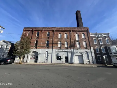
1 Landfill Rd Troy, NY 12180
Property profile & analytics
1 Landfill Rd Troy, NY 12180
- Research & development properties
- 3,993 SF
- 105.26 lot acres
Property ID
US63-4449979
The Realmo ID is a unique identifier assigned to every property, incorporating country codes and precise geo-coordinates for 300x300-foot land blocks. It enables standardized data collection and seamless integration of disparate sources such as ownership, tax, title data and physical specifications. By aggregating current and historical records, the Realmo ID powers advanced analytics and delivers deep, verifiable insights for real estate professionals.
Location Intelligence
Current Use by Public Records
- Research & development properties
Property Details for 1 Landfill Rd
- Year built
- 1960
- Lot size
- 105.26 lot acres
- Property size
- 3,993 SF
- Zone code
- MULTI
- Property type
- Research & development properties
- APN
- 381700 112.-4-36.11/1
- APU
- 381700112436111
Value Estimations
based on Realmo’s proprietary methodology
-
AI approach
-
CAP approach
-
Comparable approach
-
Alternative Use
Get a detailed, property-specific estimation — fast and free
Location Insight
- Map
- Local Demand
- City
- Troy
- County
- Rensselaer
- State
- New York
- Longitude
- -73.6693
- Latitude
- 42.6993
- CBSA code
- 10580
- CBSA name
- ALBANY-SCHENECTADY-TROY, NY METROPOLITAN STATISTICAL AREA
Property Tax & Assessments
Tax date
Tax Amount
Assessed Land Value
Assessed Improvement Value
Total Assessed Value
Applied Tax Rate
Land Market Value
Improvement Market Value
Total Market Value
0
$0.00
$780,000
$330,000
$1,110,000
-
$1,114,276
$471,424
$1,585,700