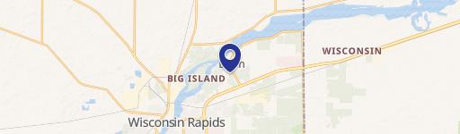
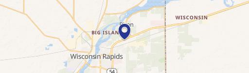
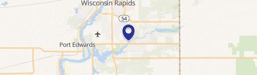
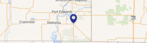
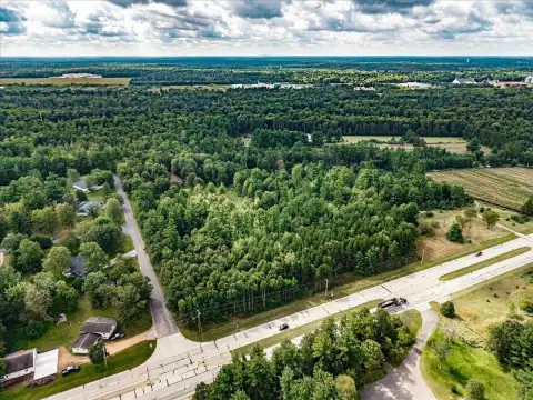
2011 26Th St Wisconsin Rapids, WI 54494
- Commercial land
- 11.57 lot acres
Current Use by Public Records
- Commercial land
Property Details for 2011 26Th St
- Lot size
- 11.57 lot acres
- Property type
- Commercial land
- APN
- 3410549
- APU
- 3410549
Description
This exceptional 11.5-acre commercial land parcel presents a remarkable investment opportunity in Wisconsin Rapids, WI. Located on Highway 54, the property boasts high visibility with over 6,000 vehicles passing daily, ensuring significant exposure for any development. The site benefits from convenient access to city sewer and water services, and ingress/egress access from Highway 54 has been officially approved by the City of Wisconsin Rapids. The B-2 General Commercial zoning allows for a wide range of development possibilities. Considerable potential exists for various commercial ventures, including but not limited to: a daycare center, lodging establishment, restaurant, convenience store, gas station, retail center(s), healthcare clinic, or funeral home. Mixed-use developments incorporating multi-family residential units with commercial space are also feasible. The property's strategic location places it near numerous existing businesses, banks, retail outlets, healthcare facilities, and restaurants, creating a thriving and supportive commercial environment. The asking price is $349,500, and the parcel's APN is 3410549. This prime location and versatile zoning make this an ideal opportunity for investors seeking high-impact commercial development in a bustling Wisconsin Rapids market.
Value Estimations
-
AI approach
-
CAP approach
-
Comparable approach
-
Alternative Use
Get a detailed, property-specific valuation — fast and free
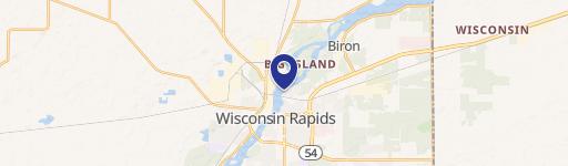
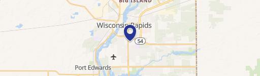
Location Insight
- Map
- Local Demand
- City
- Wisconsin Rapids
- County
- Wood
- State
- Wisconsin
- Longitude
- -89.7963
- Latitude
- 44.4033
- CBSA code
- 49220
- CBSA name
- WISCONSIN RAPIDS-MARSHFIELD, WI MICROPOLITAN STATISTICAL AREA