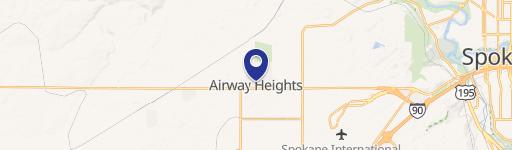
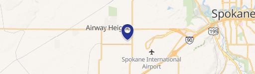
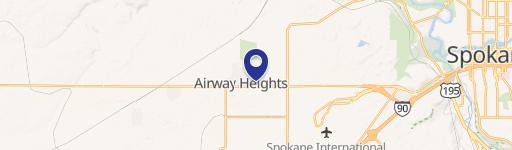
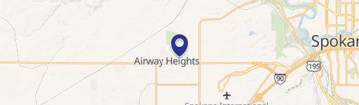
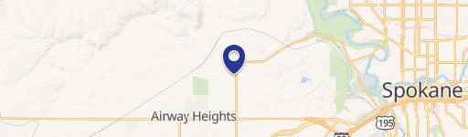
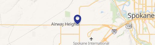
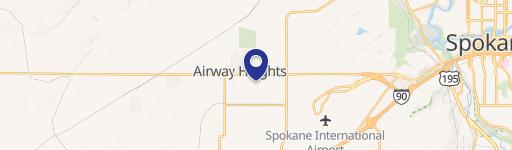
1100 Garfield Rd Airway Heights, WA 99001
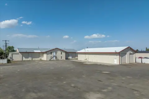
- Warehouses
- 7,000 SF
- 9.11 lot acres
Current Use by Public Records
- Warehouses
Property Details for 1100 Garfield Rd
- Year built
- 1987
- Lot size
- 9.11 lot acres
- Property size
- 7,000 SF
- Property type
- Warehouses
- APN
- 15243.0023
- APU
- 152430023
Description
This exceptional industrial property, located at 1100 S Garfield Rd, Building E, Airway Heights, WA 99001, offers a prime opportunity for businesses seeking warehouse space. The property, part of the Airway Business Center, boasts a total building size of 12,000 square feet, with 6,000 square feet currently available for lease. Built in 2007, the warehouse features a spacious layout with a 20-foot ceiling height, providing ample room for storage and operations. The property sits on a substantial 10-acre lot, offering potential for expansion or outdoor storage. The warehouse is zoned for light industrial use and is equipped with 240-volt power. The property's APN is 15243.0023. This is a multi-tenant building, presenting a great opportunity to establish a presence in a well-located and functional industrial complex. The available space is ready for immediate occupancy, providing a seamless transition for your business. Don't miss this chance to secure a strategically located warehouse in the thriving Airway Heights market.
Value Estimation
-
CAP approach
-
Comparable approach
-
Alternative Use
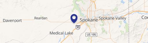
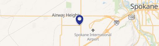
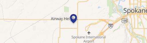
Location Insight
- Map
- Local Demand
- City
- Airway Heights
- County
- Spokane
- State
- Washington
- Longitude
- -117.579
- Latitude
- 47.6457
- CBSA code
- 44060
- CBSA name
- SPOKANE-SPOKANE VALLEY, WA METROPOLITAN STATISTICAL AREA