1930 Cartwright Rd Missouri City, TX 77489
- Garden apartment buildings
- 951 SF
- 1.71 lot acres
Current Use by Public Records
- Garden apartment buildings
Property Details for 1930 Cartwright Rd
- Year built
- 1983
- Lot size
- 1.71 lot acres
- Property size
- 951 SF
- Zone code
- QYIAD
- Property type
- Garden apartment buildings
- APN
- 0013-00-000-3100-907
- APU
- 13000003100907
Description
This exceptional 10-acre commercial land parcel presents a remarkable investment opportunity in the thriving Missouri City, Texas market. Located at 1930 Cartwright Rd, in Fort Bend County, zip code 77489, this expansive property boasts a total lot size of 435,600 square feet, offering significant potential for a wide range of commercial developments. The property's strategic location provides easy access to major transportation arteries, ensuring convenient connectivity for businesses and employees. With its substantial acreage and prime location, this land is ideally suited for various commercial ventures, from retail centers and office complexes to industrial facilities and logistics hubs. The asking price for this exceptional property is $4,500,000. This represents a compelling investment opportunity in a rapidly growing area with strong economic prospects. Detailed site surveys and environmental reports are available upon request. Don't miss this chance to acquire a significant piece of commercial real estate in a highly desirable Texas location. The property's coordinates are 29.58403805264786 latitude and -95.53330919018764 longitude. Serious inquiries only.
Value Estimation
-
AI approach
- CAP return
- Estimation
- Estimation
- $425,000
-
CAP approach
- CAP return
- Estimation
- 6%
- $490,000
- 6.5%
- $540,000
- 7%
- $525,000
-
Comparable approach
- Method
- Estimation
- Relative Method
- $495,000
- Geo Method
- $560,000
-
Alternative Use
- Use
- Estimation
- Distribution
- $560,000
- Retail
- $545,000
- Mixed-Use
- $560,000
- Hospitality
- $475,000
- Educational
- $605,000
- Residential Income
- $635,000
- Energy
- $500,000
- Income-Based Land
- $605,000
- Food Service
- $495,000
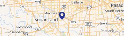
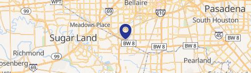
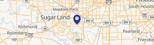
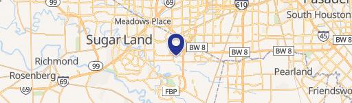
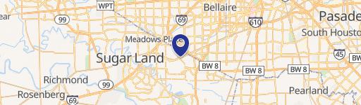
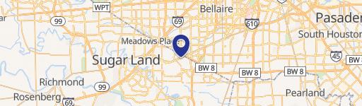
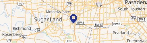
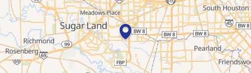
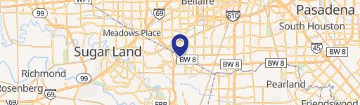
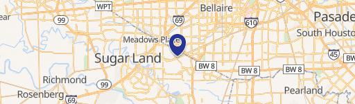
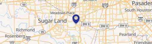
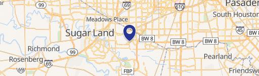
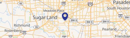
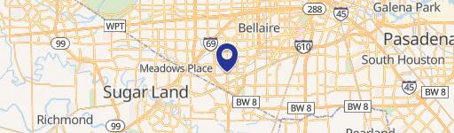
Location Insight
- Map
- Local Demand
- City
- Missouri City
- County
- Fort Bend
- State
- Texas
- Longitude
- -95.5328
- Latitude
- 29.5839
- CBSA code
- 26420
- CBSA name
- HOUSTON-SUGAR LAND-BAYTOWN, TX METROPOLITAN STATISTICAL AREA