1012 Freeport St Houston, TX 77015
- Commercial real estate
- 1.06 lot acres
Current Use by Public Records
- Commercial real estate
Property Details for 1012 Freeport St
- Lot size
- 1.06 lot acres
- Property type
- Commercial real estate
- APN
- 650720180017
- APU
- 650720180017
Description
This exceptional 1.06-acre commercial land parcel presents a remarkable investment opportunity in Houston, Texas. Located at 1012 Freeport St, 77015, this property boasts significant frontage along Freeport Road (approximately 210 feet), Greensville Street (approximately 202.40 feet), and Bandera Street (approximately 202.40 feet), offering excellent visibility and accessibility. The asking price is $1,095,000, translating to approximately $21.55 per square foot. Utilities including water, electricity, and sewage are readily available. The property's strategic location offers convenient access to major thoroughfares, with proximity to I-10 (approximately 0.5 miles) and Beltway 8 (approximately 2 miles). Furthermore, its location within a thriving residential area, with approximately 700 homes within a 3-mile radius, ensures a strong potential customer base. The property is ideally suited for a variety of commercial developments, including medical buildings, retail centers, fast-food establishments, car washes, or small multi-family residential projects. Nearby schools include Cloverleaf Elementary School (approximately 1 mile), North Shore Middle School, and North Shore High School (both approximately 6 minutes away). This property offers a unique blend of accessibility, visibility, and development potential, making it an attractive investment for discerning buyers. The Harris County location adds to its appeal.
Value Estimation
-
AI approach
- CAP return
- Estimation
- Estimation
- $275,000
-
CAP approach
- CAP return
- Estimation
- 6%
- $340,000
- 6.5%
- $345,000
- 7%
- $285,000
-
Comparable approach
- Method
- Estimation
- Relative Method
- $295,000
- Geo Method
- $315,000
-
Alternative Use
- Use
- Estimation
- Distribution
- $305,000
- Retail
- $280,000
- Mixed-Use
- $255,000
- Hospitality
- $265,000
- Educational
- $325,000
- Residential Income
- $340,000
- Energy
- $255,000
- Income-Based Land
- $270,000
- Food Service
- $315,000
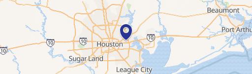
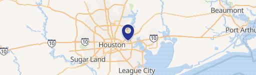
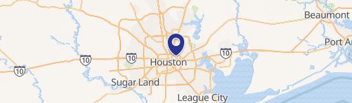
Location Insight
- Map
- Local Demand
- City
- Houston
- County
- Harris
- State
- Texas
- Longitude
- -95.1785
- Latitude
- 29.7772
- CBSA code
- 26420
- CBSA name
- HOUSTON-SUGAR LAND-BAYTOWN, TX METROPOLITAN STATISTICAL AREA