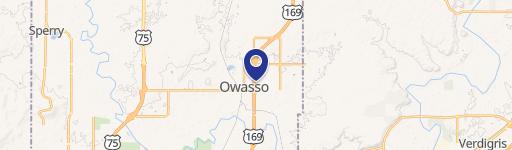
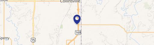
10636 Garnett Rd Owasso, OK 74055
- Commercial land
- 0.90 lot acres
Current Use by Public Records
- Commercial land
Property Details for 10636 Garnett Rd
- Lot size
- 0.90 lot acres
- Zone code
- CS
- Property type
- Commercial land
- APN
- 91418-14-18-20835
- APU
- 91418141820835
Description
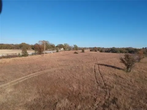
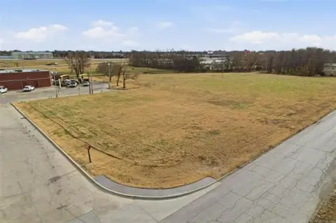
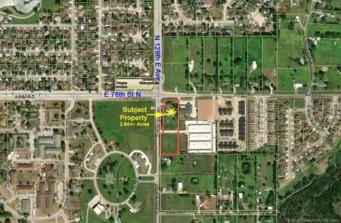
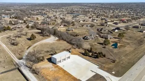
This exceptional 4.55-acre commercial land parcel is ideally situated in Owasso, Oklahoma, at 10636 N Garnett Rd, zip code 74055. The property boasts a highly desirable location just north of the intersection of 106th Street North and Garnett Road, providing convenient access to major thoroughfares like Highway 169 and Highway 75. Its proximity to a variety of amenities, including medical facilities, shopping centers, and restaurants, enhances its commercial appeal. The land is zoned for commercial use, with all necessary approvals for annexation into city limits and rezoning already completed. The asking price is $950,000. It's important to note that the existing home on the property has no assessed value; the value lies solely in the land itself. This presents a unique opportunity for developers and investors seeking a prime location for a variety of commercial ventures in a thriving Oklahoma community. The property is located in Tulsa County. Latitude and longitude coordinates are 36.308914400120756 and -95.84810207941088 respectively.
Value Estimation
-
CAP approach
-
Comparable approach
-
Alternative Use
Location Insight
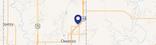
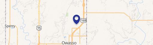
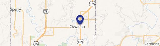
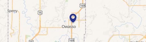
- Map
- Local Demand
- City
- Owasso
- County
- Tulsa
- State
- Oklahoma
- Longitude
- -95.8486
- Latitude
- 36.3071
- CBSA code
- 46140
- CBSA name
- TULSA, OK METROPOLITAN STATISTICAL AREA