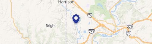
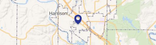
9381 Dry Fork Rd Harrison, OH 45030
- Commercial land
- 7.79 lot acres
Current Use by Public Records
- Commercial land
Property Details for 9381 Dry Fork Rd
- Year built
- 1911
- Lot size
- 7.79 lot acres
- Property type
- Commercial land
- APN
- 561-0017-0099-00
- APU
- 5610017009900
Description
This exceptional 7.791-acre industrial land parcel presents a unique investment opportunity in Harrison, Ohio. Strategically located just one mile from I-74 at the cul-de-sac on Enterprise Drive, this property offers unparalleled access to major transportation arteries. Enjoy a convenient 30-minute commute to Downtown Cincinnati's central business district, the Cincinnati/Northern Kentucky International Airport (CVG), and the Tri-County (I-75/I-275) industrial submarket. The property is identified by Hamilton County Parcel ID 561-0081-0099-00 and is zoned M-1 - Restricted Industrial by the City of Harrison. Subdivision possibilities are being considered. Utilities are readily available, including Duke Energy electric and gas service at the street, along with Greater Cincinnati Water Works water and City of Harrison sewer connections, all conveniently located at street level. The sale price is negotiable, making this an attractive proposition for developers and businesses seeking a well-situated industrial site with excellent infrastructure and accessibility. This property offers a compelling blend of location, size, and utility access, making it ideal for a variety of industrial uses. Contact us today to explore the potential of this exceptional land offering.
Value Estimation
-
CAP approach
-
Comparable approach
-
Alternative Use
Location Insight
- Map
- Local Demand
- City
- Harrison
- County
- Hamilton
- State
- Ohio
- Longitude
- -84.7732
- Latitude
- 39.2513
- CBSA code
- 17140
- CBSA name
- CINCINNATI-MIDDLETOWN, OH-KY-IN METROPOLITAN STATISTICAL AREA