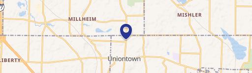
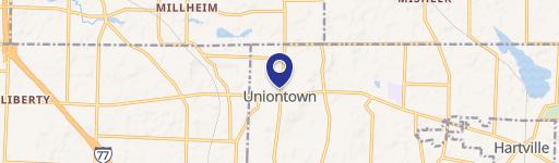
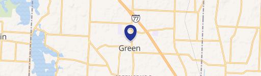
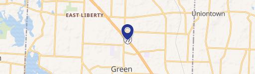
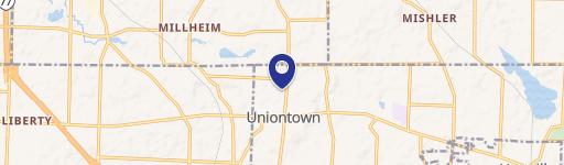
13075 Cleveland Ave Uniontown, OH 44685
- Commercial land
- 7,056 SF
- 0.25 lot acres
Current Use by Public Records
- Commercial land
Property Details for 13075 Cleveland Ave
- Year built
- 1886
- Construction
- CONCRETE
- Lot size
- 0.25 lot acres
- Property size
- 7,056 SF
- Property type
- Commercial land
- APN
- 22-01219
- APU
- 2201219
Description
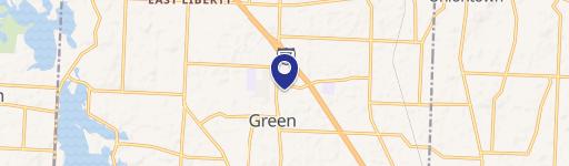
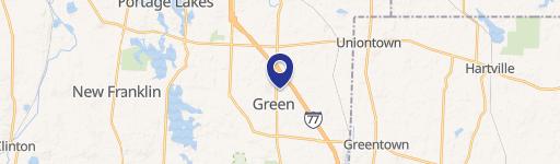
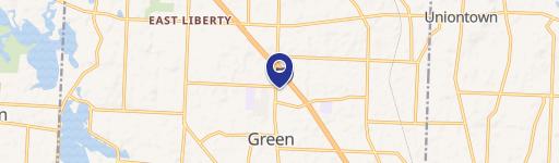
This exceptional 0.475-acre commercial land parcel presents a unique investment opportunity in Uniontown, Ohio. Strategically located at the northwest corner of Route 619 (Edison Street) and Cleveland Avenue NW, this property boasts a highly visible hard corner location, ideal for a variety of commercial ventures. The site is situated directly across from a BP gas station, ensuring high traffic volume and excellent exposure. Zoned Village Commercial, this property offers significant potential for development. The two combined lots total approximately half an acre, providing ample space for construction. The Uniontown market offers a desirable blend of suburban living and convenient access to amenities, making this location particularly attractive. The property's address is 13075-13087 Cleveland Ave NW, Uniontown, OH 44685, with APN numbers 2201477 and 2201219. This is a rare opportunity to acquire a well-positioned commercial lot in a growing area. The asking price is $379,000. A separate, adjacent hard corner lot is also available for purchase.
Value Estimation
-
CAP approach
-
Comparable approach
-
Alternative Use
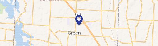
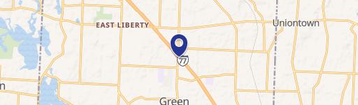
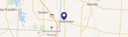
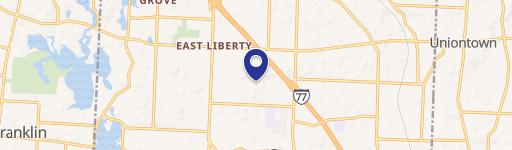
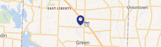
Location Insight
- Map
- Local Demand
- City
- Uniontown
- County
- Stark
- State
- Ohio
- Longitude
- -81.4074
- Latitude
- 40.9765
- CBSA code
- 15940
- CBSA name
- CANTON-MASSILLON, OH METROPOLITAN STATISTICAL AREA