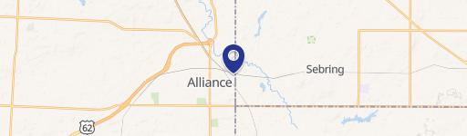
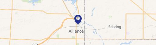
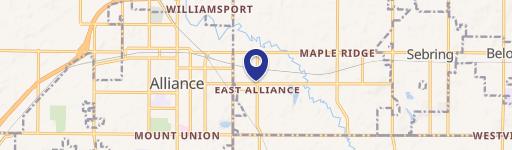
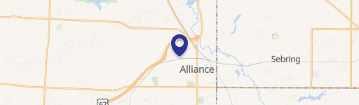
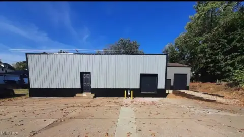
2435 Union Ave Alliance, OH 44601
- Manufacturing properties
- 52,800 SF
- 2.67 lot acres
Current Use by Public Records
- Manufacturing properties
Property Details for 2435 Union Ave
- Year built
- 1925
- Construction
- FRAME
- Lot size
- 2.67 lot acres
- Property size
- 52,800 SF
- Property type
- Manufacturing properties
- APN
- 10-008611
- APU
- 10008611
Description
This exceptional 3.59-acre commercial land parcel presents a remarkable investment opportunity in Alliance, Ohio. Located at 2435 S Union Ave (Rt. 183), this property boasts approximately 338 feet of frontage on a busy thoroughfare, ensuring high visibility and accessibility for any commercial venture. The property is zoned B-3 Mixed Commercial, offering a wide range of development possibilities. The existing smoke stack will be removed, demolition debris cleared, and the area filled and seeded before closing, simplifying the development process. The parcel's size and zoning make it ideal for a variety of uses, from retail and restaurants to light industrial and office spaces. With its strategic location and significant frontage, this property offers unparalleled potential for substantial return on investment. The property's APN numbers are 10008611 and 10008613. This is a rare opportunity to acquire a large, well-located commercial lot in a growing area. Don't miss out on this chance to build your business in a prime location. The asking price is $990,000.
Value Estimation
-
CAP approach
-
Comparable approach
-
Alternative Use
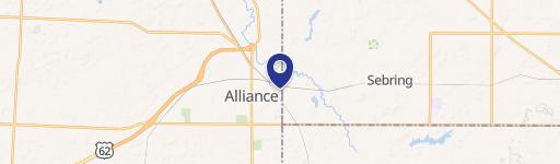
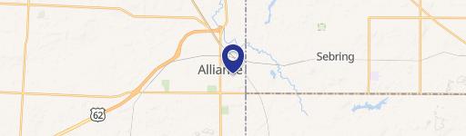
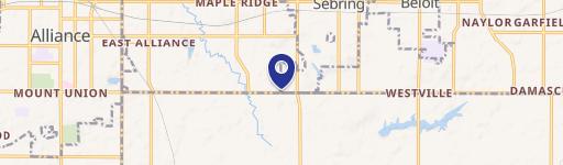
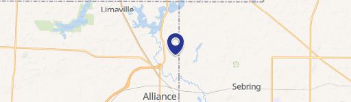
Location Insight
- Map
- Local Demand
- City
- Alliance
- County
- Stark
- State
- Ohio
- Longitude
- -81.1067
- Latitude
- 40.8974
- CBSA code
- 15940
- CBSA name
- CANTON-MASSILLON, OH METROPOLITAN STATISTICAL AREA