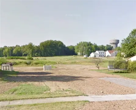
76 Mcclurg Rd Youngstown, OH 44512
- Industrial land
- 1.84 lot acres
Current Use by Public Records
- Industrial land
Property Details for 76 Mcclurg Rd
- Lot size
- 1.84 lot acres
- Property type
- Industrial land
- APN
- 29-035-0-010.05-0
- APU
- 290350010050
Description
This exceptional 1.837-acre industrial land parcel, located at 76 McClurg Rd in Youngstown, Ohio (Mahoning County, zip code 44512), presents a compelling investment opportunity. The property is zoned for industrial use, offering significant potential for various development projects. Its prime location directly across from Mercy Health (St. Elizabeth) Hospital, just east of Market Street, ensures high visibility and accessibility. This strategic position within a thriving industrial and medical corridor guarantees substantial traffic flow, making it ideal for businesses seeking a high-profile presence. The lot size provides ample space for construction or expansion, catering to a wide range of industrial needs. The APN is 29-035-0-010.05. This property is offered at an asking price of $625,000. The property's advantageous location and zoning make it a highly attractive prospect for investors and developers seeking a foothold in a dynamic and growing market. Serious inquiries are encouraged.
Value Estimation
-
CAP approach
-
Comparable approach
-
Alternative Use
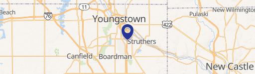
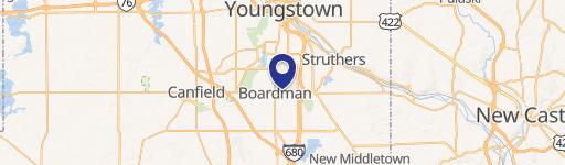
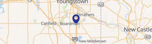
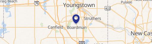
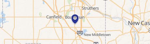
Location Insight
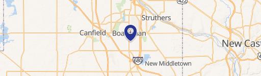
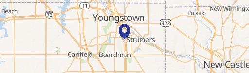
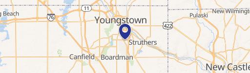
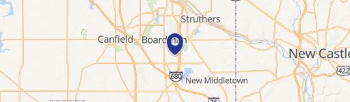
- Map
- Local Demand
- City
- Youngstown
- County
- Mahoning
- State
- Ohio
- Longitude
- -80.658
- Latitude
- 40.9959
- CBSA code
- 49660
- CBSA name
- YOUNGSTOWN-WARREN-BOARDMAN, OH-PA METROPOLITAN STATISTICAL AREA