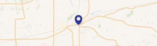
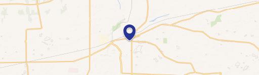
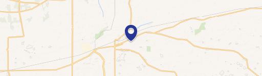
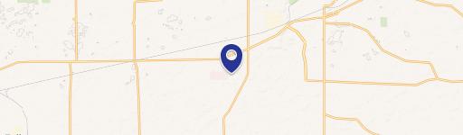
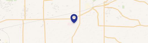
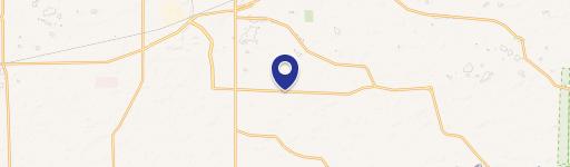
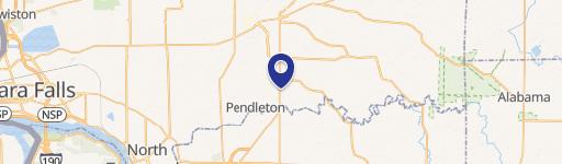
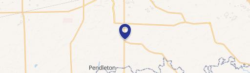
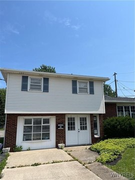
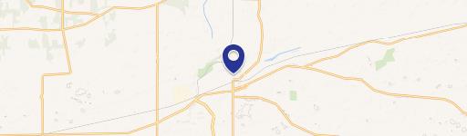
6071 Robinson Rd Lockport, NY 14094
- Commercial land
- 1,624 SF
- 2.60 lot acres
Current Use by Public Records
- Commercial land
Property Details for 6071 Robinson Rd
- Year built
- 2002
- Lot size
- 2.60 lot acres
- Property size
- 1,624 SF
- Zone code
- B-1
- Property type
- Commercial land
- APN
- 292600 137.02-1-21.2
- APU
- 292600137021212
Description
This exceptional 2.6-acre development site in Lockport, NY, presents a unique investment opportunity. Located on Robinson Road, between Transit Road and Bypass Road, this property boasts excellent visibility and convenient access to major thoroughfares. The site is zoned for both commercial and residential uses, offering considerable flexibility for a variety of projects. Permitted uses include auto sales and service, retail establishments, offices, restaurants, banks, and more. The flat, 2.6-acre parcel features approximately 324 feet of frontage and 363 feet of depth, providing ample space for development. Its prime location offers proximity to numerous amenities, including Walmart, Tops Supermarket, Aldi, and various restaurants and retail stores. The property's strategic position, approximately four miles north of Amherst and the Erie County border, ensures high traffic volume and strong potential for return on investment. This is an exceptional opportunity to acquire a sizable, versatile development site in a thriving area of Lockport. The asking price is $249,900. The property's address is 6071 Robinson Rd, Lockport, NY 14094.
Value Estimations
-
CAP approach
-
Comparable approach
-
Alternative Use
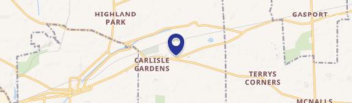
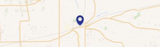
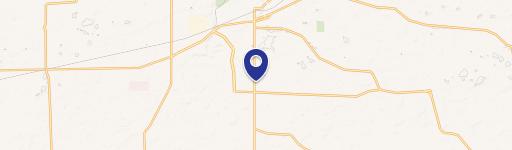
Location Insight
- Map
- Local Demand
- City
- Lockport
- County
- Niagara
- State
- New York
- Longitude
- -78.7034
- Latitude
- 43.1332
- CBSA code
- 15380
- CBSA name
- BUFFALO-NIAGARA FALLS, NY METROPOLITAN STATISTICAL AREA