Property profile & analytics
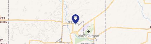
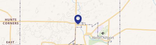
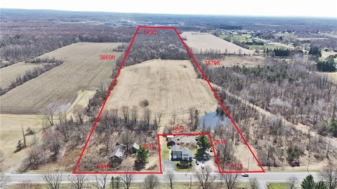
12715 Lewis Rd Akron, NY 14001-9668
- Manufacturing properties
- 24,644 SF
- 12.90 lot acres
OFF-MARKET
Value Estimations
$425,000
Show details
Cap Rate Potential
Location Intelligence
Property ID
US63-5209837
The Realmo ID is a unique identifier assigned to every property, incorporating country codes and precise geo-coordinates for 300x300-foot land blocks. It enables standardized data collection and seamless integration of disparate sources such as ownership, tax, title data and physical specifications. By aggregating current and historical records, the Realmo ID powers advanced analytics and delivers deep, verifiable insights for real estate professionals.
Current Use by Public Records
- Niagara Label Co Inc / Custom Label Printer
Property Details for 12715 Lewis Rd
- Year built
- 1976
- Lot size
- 12.90 lot acres
- Property size
- 24,644 SF
- Zone code
- 17
- Property type
- Manufacturing properties
- APN
- 145689 33.00-2-19.1
- APU
- 14568933002191
Value Estimations
based on Realmo’s proprietary methodology
-
AI approach
- Method
- Estimation
- ML approach
- $425,000
-
Comparable approach
- Method
- Estimation
- Statistic Estimate
- $374,000
- AI Estimate
- $272,000
Market price range: $366k - $1.44MMarket price range: $262k - $923k
Get a detailed, property-specific valuation — fast and free
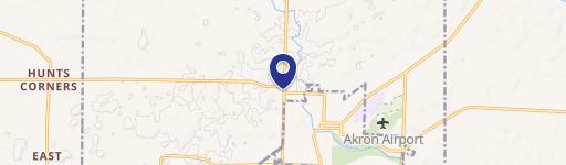
Location Insight
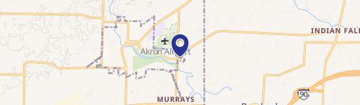
- Map
- Local Demand
- City
- Akron
- County
- Erie
- State
- New York
- Longitude
- -78.511
- Latitude
- 43.0275
- CBSA code
- 15380
- CBSA name
- BUFFALO-NIAGARA FALLS, NY METROPOLITAN STATISTICAL AREA
Property Tax & Assessments
Tax date
Tax Amount
Assessed Land Value
Assessed Improvement Value
Total Assessed Value
Applied Tax Rate
Land Market Value
Improvement Market Value
Total Market Value
2023
$0.00
$94,100
$441,900
$536,000
-
$94,100
$441,900
$536,000