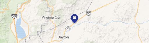
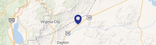
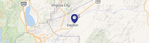
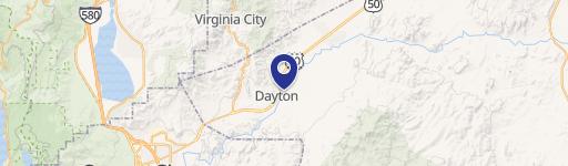
102 Ambrose Ln Dayton, NV 89403
- Commercial land
- 5.75 lot acres
Current Use by Public Records
- Commercial land
Property Details for 102 Ambrose Ln
- Lot size
- 5.75 lot acres
- Zone code
- C2
- Property type
- Commercial land
- APN
- 019-522-08
- APU
- 1952208
Description
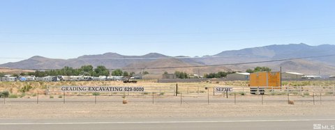
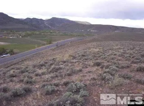
This exceptional 5.75-acre commercial land parcel presents a unique investment opportunity in Dayton, Nevada. Located at 102 Ambrose Lane, this vacant property is zoned for commercial use and offers high visibility due to its strategic corner location at the intersection of Highway 50 and Ambrose Lane. The site boasts approximately 825 feet of Highway 50 frontage, along with 200 feet of Ambrose Lane frontage and 525 feet along Brookhaven. Infrastructure is already in place, including curb and gutter along Ambrose and Brookhaven, with all public utilities readily available on Brookhaven. The mostly level terrain simplifies development. The property's location provides easy access to major transportation routes, maximizing exposure and convenience for any commercial venture. A Dollar General store is conveniently located nearby on Ambrose Lane. The asking price is $1,400,000, with a land value of $5.60 per square foot. The property's APN is 019-522-08. This is a rare opportunity to acquire a well-situated commercial lot in a growing Nevada community.
Value Estimation
-
CAP approach
-
Comparable approach
-
Alternative Use
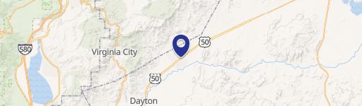
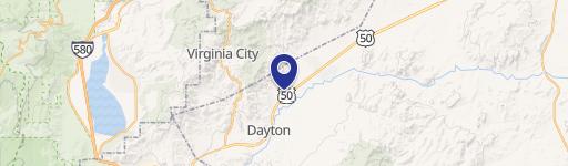
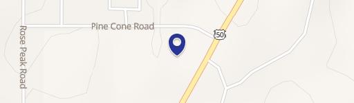
Location Insight
- Map
- Local Demand
- City
- Dayton
- County
- Lyon
- State
- Nevada
- Longitude
- -119.536
- Latitude
- 39.2899
- CBSA code
- 22280
- CBSA name
- FERGUS FALLS, MN MICROPOLITAN STATISTICAL AREA