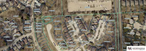
10606 State St Omaha, NE 68122
- Industrial land
- 4.36 lot acres
Current Use by Public Records
- Industrial land
Property Details for 10606 State St
- Lot size
- 4.36 lot acres
- Property type
- Industrial land
- APN
- 511720010
- APU
- 511720010
Description
This exceptional 7-acre commercial and industrial land parcel presents a unique investment opportunity in Omaha, Nebraska. Located at the highly visible hard corner of Blair High Road/Highway 133 and State Street, this property boasts unparalleled exposure to a significant daily traffic volume of 23,000 vehicles. The property is zoned GI, offering flexibility for a variety of commercial and industrial uses. Its strategic location provides easy access to Interstate 680, less than one mile away, ensuring convenient transportation links. Adding to its appeal, this site sits directly across the street from a substantial data center, benefiting from the established presence of a major technology infrastructure. The expansive 7-acre lot provides ample space for development, making it ideal for businesses seeking a prominent location with high visibility and convenient access to major transportation arteries. The asking price for this exceptional property is $1,300,000. This is a rare opportunity to acquire a significant land parcel in a thriving Omaha location. Serious inquiries are encouraged. The property address is 10606 State Street, Omaha, NE 68122, situated in Douglas County.
Value Estimation
-
CAP approach
-
Comparable approach
-
Alternative Use
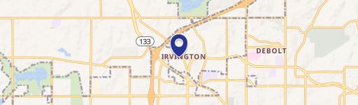
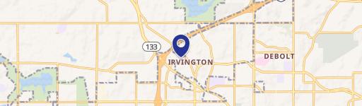
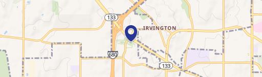
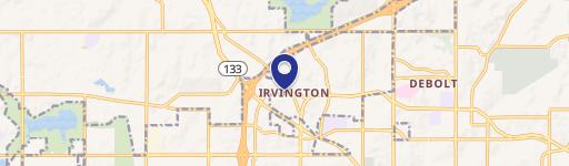
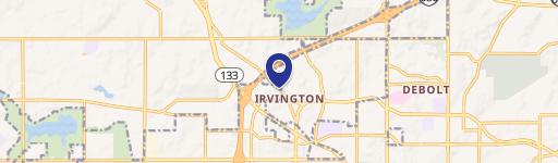
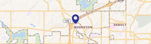
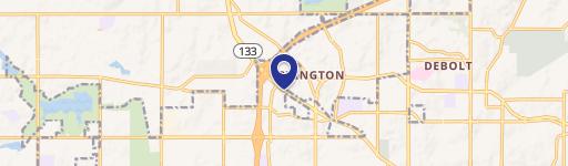
Location Insight
- Map
- Local Demand
- City
- Omaha
- County
- Douglas
- State
- Nebraska
- Longitude
- -96.0784
- Latitude
- 41.3365
- CBSA code
- 36540
- CBSA name
- OMAHA-COUNCIL BLUFFS, NE-IA METROPOLITAN STATISTICAL AREA