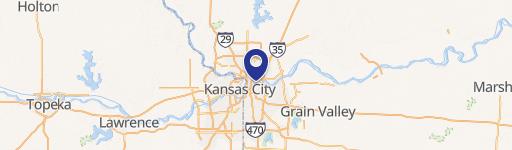
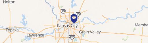
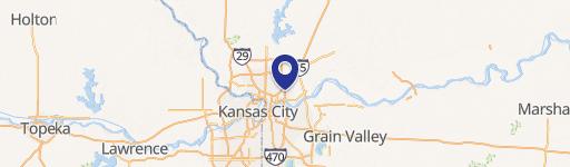
910 Century Dr Kansas City, MO 64120
- Commercial land
- 9.00 lot acres
Current Use by Public Records
- Commercial land
Property Details for 910 Century Dr
- Lot size
- 9.00 lot acres
- Property type
- Commercial land
- APN
- 14-400-03-31-01
- APU
- 14400033101
Description
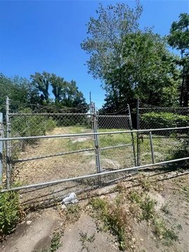
This exceptional 16.22-acre industrial land parcel, identified as APN 14-400-03-31-03-0-00-000 and 14-400-03-31-01-0-00-000, presents a significant investment opportunity in Kansas City, Missouri. Located at 910 & 920 N Century Drive, in Jackson County, zip code 64120 (latitude 39.123078, longitude -94.491887), this property is ideally situated within Executive Park. The asking price is $3,532,716, translating to a land value of $5 per square foot. This expansive site offers significant potential for various industrial developments, benefiting from its strategic location and accessibility within a well-established industrial area. The property's zoning and permitted uses should be independently verified. Detailed site plans and surveys are available upon request. This is a rare opportunity to acquire a substantial land holding in a thriving Kansas City market. Serious inquiries only. All information deemed reliable but not guaranteed.
Value Estimations
-
AI approach
-
CAP approach
-
Comparable approach
-
Alternative Use
Get a detailed, property-specific valuation — fast and free
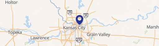
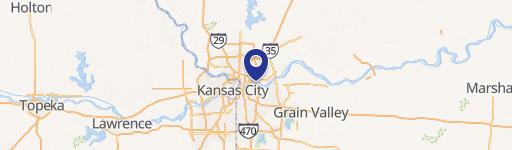
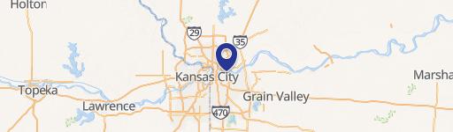
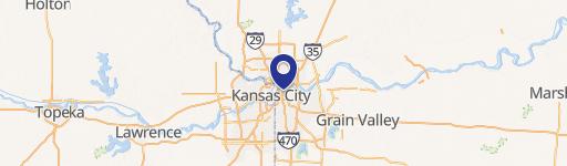
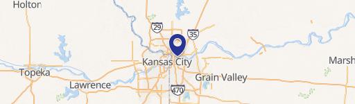
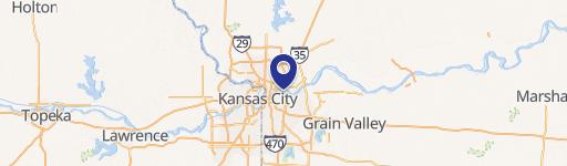
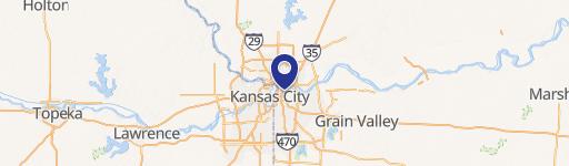
Location Insight
- Map
- Local Demand
- City
- Kansas City
- County
- Jackson
- State
- Missouri
- Longitude
- -94.4911
- Latitude
- 39.1228
- CBSA code
- 28140
- CBSA name
- KANSAS CITY, MO-KS METROPOLITAN STATISTICAL AREA