3801 Cheddington Dr Lee's Summit, MO 64082
- Commercial land
- 0.91 lot acres
Current Use by Public Records
- Commercial land
Property Details for 3801 Cheddington Dr
- Lot size
- 0.91 lot acres
- Property type
- Commercial land
- APN
- 70-910-12-04
- APU
- 709101204
Description
This exceptional 0.973-acre parcel in Lee's Summit, Missouri, presents a unique investment opportunity. Located in Jackson County, at 3801 SW Cheddington Dr, zip code 64082, this property boasts a CP-2 zoning designation, allowing for versatile development options. The land encompasses approximately 42,383 square feet, with up to 17,480 square feet available for lease. The site offers significant potential for various commercial uses, benefiting from its strategic location within a thriving retail environment. A grocery-anchored center is nearby, and a recently expanded and renovated Chopper store, along with a Walmart Super Center opened in 2017 across the street, provide strong indicators of high traffic and consumer demand. The property is available for sale in parcels ranging from 0.65 acres to 6 acres. For developers seeking a build-to-suit option, the owner is open to collaboration, making this an attractive proposition for tailored commercial projects. This prime location and flexible development potential make this Lee's Summit land a highly desirable investment. The property's coordinates are 38.851147 latitude and -94.383122 longitude.
Value Estimation
-
CAP approach
-
Comparable approach
-
Alternative Use
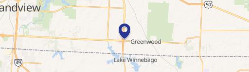
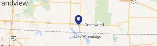
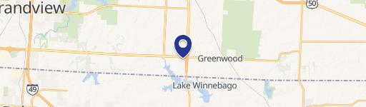
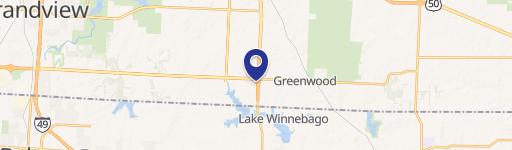
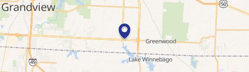
Location Insight
- Map
- Local Demand
- City
- Lees Summit
- County
- Jackson
- State
- Missouri
- Longitude
- -94.3831
- Latitude
- 38.8512
- CBSA code
- 28140
- CBSA name
- KANSAS CITY, MO-KS METROPOLITAN STATISTICAL AREA