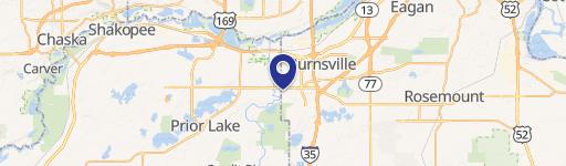
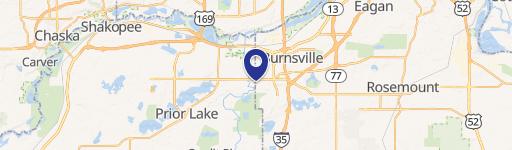
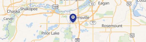
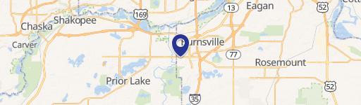
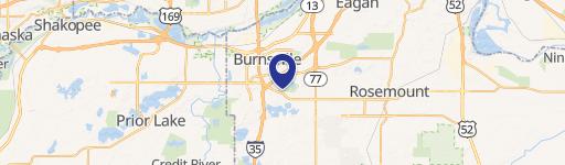
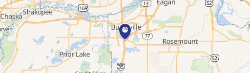
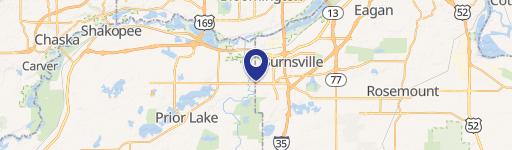
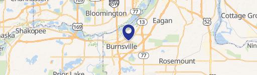
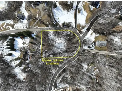
14300 Ewing Ave Burnsville, MN 55306
- Showrooms
- 12,248 SF
- 1.45 lot acres
Current Use by Public Records
- MN Concealed Protection, LLC / Gun Club
- Burnsville Pistol & Rifle Range / Shooting Range
Property Details for 14300 Ewing Ave
- Year built
- 1981
- Construction
- CONCRETE
- Lot size
- 1.45 lot acres
- Property size
- 12,248 SF
- Zone code
- R
- Property type
- Showrooms
- APN
- 02-90330-00-040
- APU
- 29033000040
Description
This exceptional business opportunity presents the acquisition of the Burnsville Pistol and Rifle Range, a well-established and profitable shooting facility located at 14300 Ewing Avenue S, Burnsville, Minnesota. The property encompasses a substantial 1.45-acre lot and a 12,248 square-foot building. The range boasts 18 state-of-the-art shooting lanes, specifically configured with 12 lanes for pistol shooting (25 yards) and 6 lanes for rifle shooting (46 yards). All lanes are equipped with advanced Meggitt/Caswell computerized operating systems, ensuring efficient and accurate operation. Beyond the shooting lanes, the building includes a sizable classroom ideal for training courses, a welcoming lobby area for customers, and six generously sized storage spaces for equipment and supplies. The asking price for this turnkey operation is $1,250,000. The property is currently operational and occupied
Value Estimation
-
CAP approach
-
Comparable approach
-
Alternative Use
Location Insight
- Map
- Local Demand
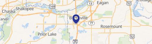
- City
- Burnsville
- County
- Dakota
- State
- Minnesota
- Longitude
- -93.3281
- Latitude
- 44.7442
- CBSA code
- 33460
- CBSA name
- MINNEAPOLIS-ST. PAUL-BLOOMINGTON, MN-WI METROPOLITAN STATISTICAL AREA