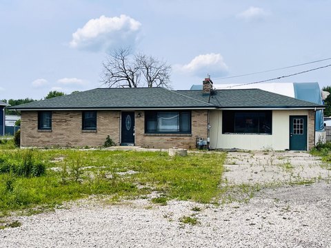
7330 Kraft Ave Caledonia, MI 49316
- Commercial land
- 17.49 lot acres
Current Use by Public Records
- Commercial land
Property Details for 7330 Kraft Ave
- Lot size
- 17.49 lot acres
- Zone code
- C2
- Property type
- Commercial land
- APN
- 41-23-08-300-036
- APU
- 412308300036
Description
This exceptional 2.43-acre commercial land parcel, identified as Parcel C at 7330 Kraft Avenue SE in Caledonia, Michigan, presents a compelling investment opportunity. Located within the burgeoning Broadmoor corridor, this property benefits from its strategic position near the highly trafficked intersection of M-6 and Broadmoor Avenue, ensuring excellent visibility and accessibility. The site is ideally suited for office or retail development, capitalizing on the area's growth and high traffic volume. All utilities are readily available, with municipal sewer and water services already in place, simplifying the development process and reducing upfront costs. The asking price for this prime commercial land is $668,250. The property's address is 7330 Kraft Avenue SE, Parcel C, Caledonia, MI 49316. Its geographic coordinates are latitude 42.830775 and longitude -85.525259. This presents a rare chance to acquire a well-situated parcel in a thriving commercial area, ready for immediate development. The substantial lot size offers ample space for a variety of commercial projects, making it an attractive proposition for developers and investors seeking a strong return on investment. Don't miss this chance to secure a piece of Caledonia's growing commercial landscape.
Value Estimation
-
CAP approach
-
Comparable approach
-
Alternative Use
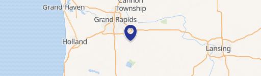
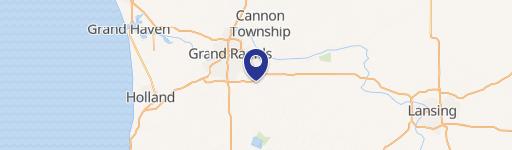
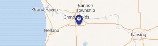
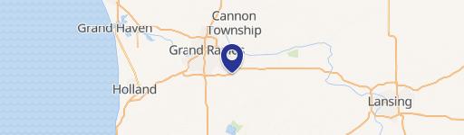
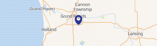
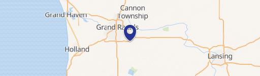
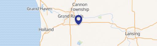
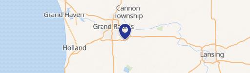
Location Insight
- Map
- Local Demand
- City
- Caledonia
- County
- Kent
- State
- Michigan
- Longitude
- -85.5253
- Latitude
- 42.8308
- CBSA code
- 24340
- CBSA name
- GRAND RAPIDS-WYOMING, MI METROPOLITAN STATISTICAL AREA