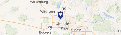
7841 Thunderbird Rd Peoria, AZ 85381
- Commercial land
- 917 SF
- 5.09 lot acres
Current Use by Public Records
- Commercial land
Property Details for 7841 Thunderbird Rd
- Year built
- 1956
- Lot size
- 5.09 lot acres
- Property size
- 917 SF
- Zone code
- C-C
- Property type
- Commercial land
- APN
- 200-78-003M
- APU
- 20078003M
Description
This exceptional 4.39-acre commercial land parcel, located at 7841 W Thunderbird Rd in Peoria, Arizona (Maricopa County, zip code 85381), presents a remarkable development opportunity. The property boasts a highly desirable signaled corner location with approximately 251 feet of frontage on West Thunderbird Road, offering excellent visibility and accessibility. Zoned C-2, this flat, graded lot is ready for immediate development and is suitable for a variety of uses, including medical offices, retail establishments, quick-service restaurants (QSR), general office space, or multifamily housing. The asking price is $4,700,000, translating to a land value of $41 per square foot. Utilities are conveniently located nearby, simplifying infrastructure connections. Its prime location offers easy access to major freeways, enhancing its appeal and potential for significant return on investment. The property is offered fee simple with APN 200-78-003-N. This is a rare opportunity to acquire a well-positioned, sizable commercial lot in a thriving Arizona market. Bring your offers and capitalize on this exceptional investment prospect.
Value Estimation
-
CAP approach
-
Comparable approach
-
Alternative Use
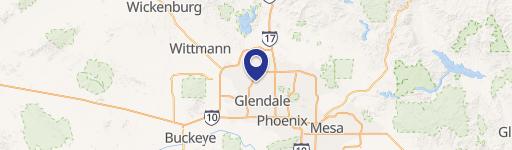
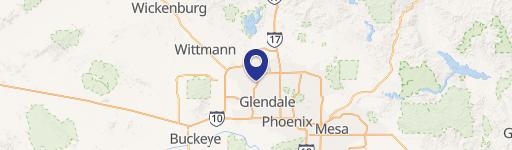
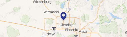
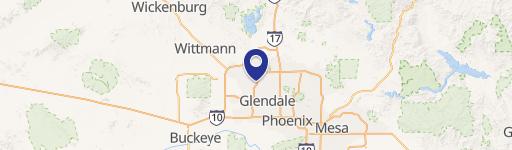
Location Insight
- Map
- Local Demand
- City
- Peoria
- County
- Maricopa
- State
- Arizona
- Longitude
- -112.22
- Latitude
- 33.6222
- CBSA code
- 38060
- CBSA name
- PHOENIX-MESA-SCOTTSDALE, AZ METROPOLITAN STATISTICAL AREA