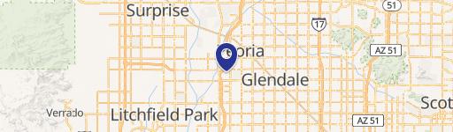
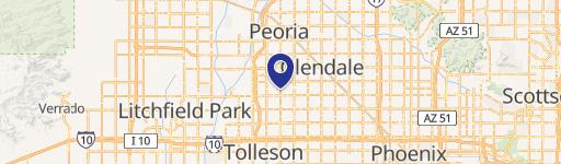
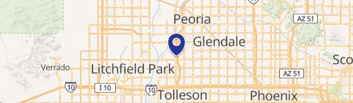
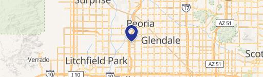
6580 91St Ave Glendale, AZ 85305
- Commercial land
- 2.58 lot acres
Current Use by Public Records
- Commercial land
Property Details for 6580 91St Ave
- Lot size
- 2.58 lot acres
- Zone code
- PAD
- Property type
- Commercial land
- APN
- 102-01-029B
- APU
- 10201029B
Description
This exceptional 112,242 square foot commercial land parcel is available for sale in Glendale, Arizona. Located at 6580 N 91st Ave, 85305, this property presents a unique opportunity for developers and investors. The flexible PAD zoning allows for a wide range of uses, including office, medical, retail, hospitality, and entertainment establishments. This versatility makes it an ideal location for a variety of businesses. The site's strategic location offers excellent accessibility and visibility, situated in a high-traffic area with a strong demographic profile. Within a three-mile radius, there is a population exceeding 125,000, ensuring a substantial customer base for any development. The property's size and zoning regulations provide ample space for large-scale projects or the development of multiple smaller units. This presents a significant opportunity to capitalize on the growing commercial market in Glendale, Arizona. Serious inquiries are encouraged to explore the potential of this prime commercial land parcel. The property is located in Maricopa County. Latitude and longitude coordinates are 33.530677, -112.2554583 respectively.
Value Estimation
-
CAP approach
-
Comparable approach
-
Alternative Use
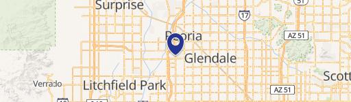
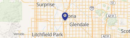
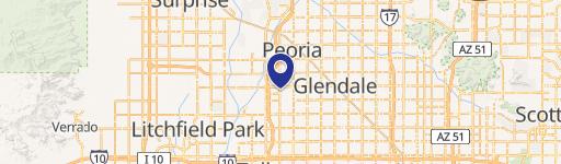
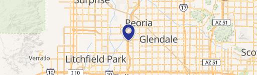
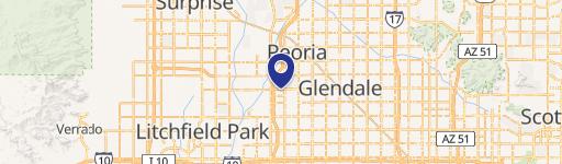
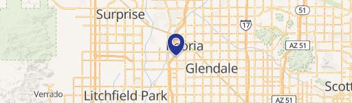
Location Insight
- Map
- Local Demand
- City
- Glendale
- County
- Maricopa
- State
- Arizona
- Longitude
- -112.256
- Latitude
- 33.5312
- CBSA code
- 38060
- CBSA name
- PHOENIX-MESA-SCOTTSDALE, AZ METROPOLITAN STATISTICAL AREA