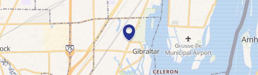
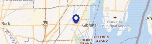
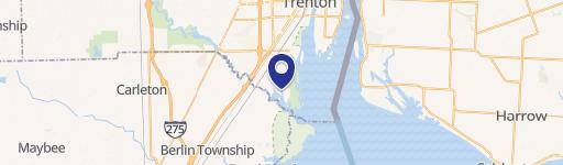
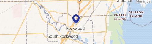
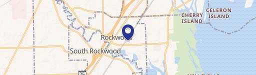
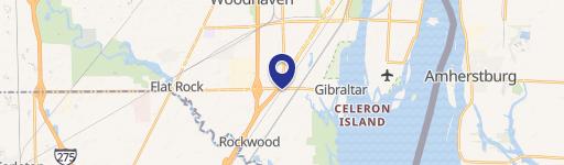
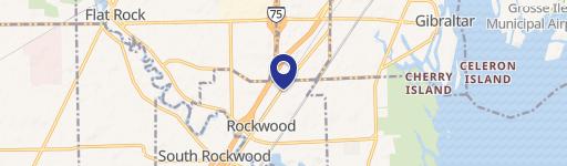
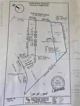
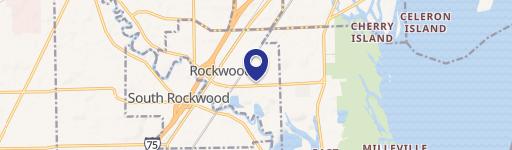
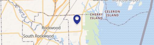
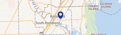
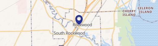
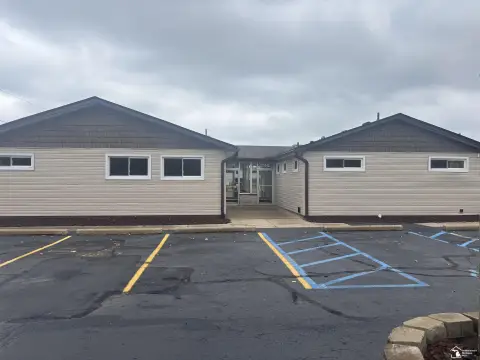
20837 Huron River Dr Rockwood, MI 48173
- Industrial land
- 24.83 lot acres
Current Use by Public Records
- Industrial land
Property Details for 20837 Huron River Dr
- Lot size
- 24.83 lot acres
- Property type
- Industrial land
- APN
- 52 010 99 0001 000
- APU
- 52010990001000
Description
This exceptional 64.32-acre parcel of land, located at 20837 N. Huron River Drive in Rockwood, Michigan, presents a significant opportunity for industrial development. The property is zoned M-2, allowing for a wide variety of industrial uses. The asking price is $1,500,000, translating to $23,320 per acre. Its advantageous location offers easy access to major transportation arteries, including I-75, Fort Street, and Jefferson Avenue, ensuring seamless logistics and connectivity. The property's substantial size provides ample space for large-scale industrial projects, while the M-2 zoning provides flexibility for diverse development plans. The Wayne County location, with a zip code of 48173, adds to its appeal. Outside storage is also available on this expansive site. This is a rare opportunity to acquire a significant industrial land holding in a strategic location with excellent access to major roadways. The APN is 52-010-88-0001-000. Don't miss this chance to secure this valuable asset.
Value Estimation
-
CAP approach
-
Comparable approach
-
Alternative Use
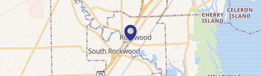
Location Insight
- Map
- Local Demand
- City
- Rockwood
- County
- Wayne
- State
- Michigan
- Longitude
- -83.2346
- Latitude
- 42.0706
- CBSA code
- 19820
- CBSA name
- DETROIT-WARREN-LIVONIA, MI METROPOLITAN STATISTICAL AREA