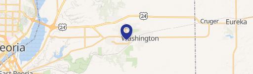
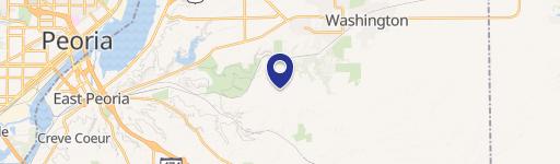
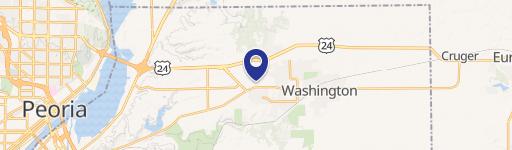
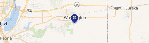
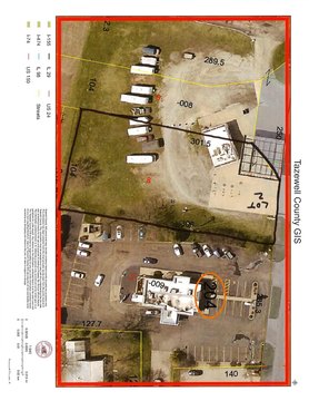
1331 Washington Rd Washington, IL 61571
- Commercial land
- 480 SF
- 1.41 lot acres
Current Use by Public Records
- Commercial land
Property Details for 1331 Washington Rd
- Year built
- 1963
- Lot size
- 1.41 lot acres
- Property size
- 480 SF
- Property type
- Commercial land
- APN
- 02-02-22-204-005
- APU
- 20222204005
Description
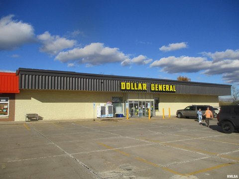
This exceptional 1.41-acre commercial land parcel in Washington, IL, presents a remarkable development opportunity. Situated at 1331 Washington Rd, this C-2 zoned property boasts a highly desirable location, directly between a Pizza Hut and Becks Oil, and across the street from McDonald's and Dollar General. The property benefits from an average daily traffic count of 15,800 vehicles, ensuring high visibility and accessibility for any commercial venture. The parcel's APN is 02-02-22-204-005, and its location within Tazewell County, IL (zip code 61571) offers easy access to local amenities and a strong consumer base. The asking price is $400,000. This is a rare opportunity to acquire a strategically positioned commercial lot in a thriving area. Additional acreage is available for expansion, providing flexibility for larger-scale projects. This prime location and high traffic volume make this property ideal for a variety of commercial uses. Don't miss this chance to secure a piece of Washington's vibrant commercial landscape.
Value Estimation
-
CAP approach
-
Comparable approach
-
Alternative Use
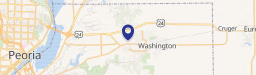
Location Insight
- Map
- Local Demand
- City
- Washington
- County
- Tazewell
- State
- Illinois
- Longitude
- -89.4299
- Latitude
- 40.7032
- CBSA code
- 37900
- CBSA name
- PEORIA, IL METROPOLITAN STATISTICAL AREA