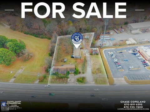
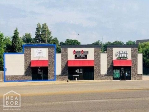
1722 Airport Rd Jonesboro, AR 72401
- Commercial land
- 0.28 lot acres
Current Use by Public Records
- 🌹 Just Flowers 🌻 / Florist
Property Details for 1722 Airport Rd
- Lot size
- 0.28 lot acres
- Property type
- Commercial land
- APN
- 01-144101-02900
- APU
- 114410102900
Description
This exceptional 0.81-acre commercial lot in Jonesboro, Arkansas, presents a unique investment opportunity. Located at the highly visible intersection of Highway 49 North and Airport Road in Craighead County (APN: 01-144101-02900, 01-144101-10801), this C-3 zoned property boasts unparalleled exposure to over 38,000 vehicles daily. Situated in one of Jonesboro's fastest-growing areas, this hard corner lot benefits from significant recent road improvements, enhancing accessibility and traffic flow. The property's strategic location between Arkansas State University and NEA Baptist Memorial Hospital, coupled with its proximity to thriving businesses such as Kum & Go, Marco's Pizza, Dollar Tree, Tommy's Carwash, First National Bank, and a new Starbucks, ensures high visibility and strong potential for any commercial venture. Direct access from both Highway 49 North and Airport Road adds to its convenience. An adjacent lot is also available for purchase, offering expansion possibilities. This prime location and high traffic count make this a compelling investment opportunity with significant long-term growth potential. The asking price is $725,000. Zip code: 72401.
Value Estimation
-
CAP approach
-
Comparable approach
-
Alternative Use
Location Insight
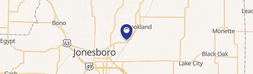
- Map
- Local Demand
- City
- Jonesboro
- County
- Craighead
- State
- Arkansas
- Longitude
- -90.6493
- Latitude
- 35.8603
- CBSA code
- 27860
- CBSA name
- JONESBORO, AR METROPOLITAN STATISTICAL AREA