4632 Snapfinger Woods Dr Decatur, GA 30035
- Commercial land
- 1,315 SF
- 4.13 lot acres
Current Use by Public Records
- Commercial land
Property Details for 4632 Snapfinger Woods Dr
- Lot size
- 4.13 lot acres
- Property size
- 1,315 SF
- Zone code
- TND
- Property type
- Commercial land
- APN
- 15 128 04 002
- APU
- 1512804002
Description
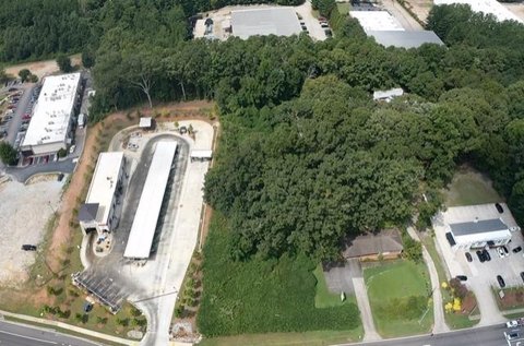
This exceptional 42.35-acre development site in Decatur, Georgia, presents a prime opportunity for townhome and multifamily residential development. Located in DeKalb County, it boasts a highly desirable location less than two miles west of the I-20 and I-285 interchange, offering easy access to major transportation arteries. The property is situated within the I-20 Corridor Overlay District, allowing for mixed-use developments with up to 40 dwelling units per acre, plus a 25% density bonus. Studies indicate the potential for over 331 townhome units. The site's gently sloping topography and convenient access to utilities enhance its appeal. Significant economic incentives are available through its location within a Qualified Census Tract (QCT) and Livable Center Initiative (LCI) District. Furthermore, its adjacency to the Wesley Chapel Transit Oriented District (TOD) and proximity to a planned MARTA station make it ideal for transit-oriented development projects. The property's APN numbers are 15-127-02-005, 15-127-02-028, 15-127-02-060, and 15-128-04-002. The permitted zoning is RSM. This site is part of a larger 85.43-acre assemblage and can be purchased as a standalone property or as part of the larger offering. Water and sewer credits are available. The property is zoned for mixed-use development and is ideally suited for townhome and multifamily residential projects. High traffic counts on I-20 (approximately 64,795 vehicles per day) and Snapfinger Road (approximately 17,800 vehicles per day) further enhance the site's value and potential.
Value Estimations
-
CAP approach
-
Comparable approach
-
Alternative Use
Location Insight
- Map
- Local Demand
- City
- Decatur
- County
- Dekalb
- State
- Georgia
- Longitude
- -84.2019
- Latitude
- 33.7128
- CBSA code
- 12060
- CBSA name
- ATLANTA-SANDY SPRINGS-MARIETTA, GA METROPOLITAN STATISTICAL AREA