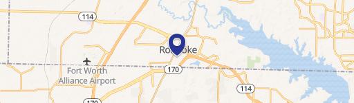
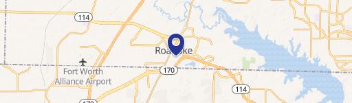
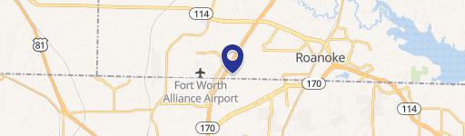
S.h. 114 & Roanoke, TX 76262
Property profile & analytics
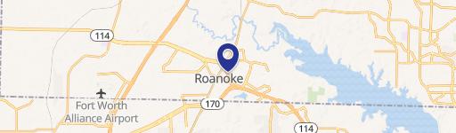
Location Intelligence
Current Use by Public Records
- Land
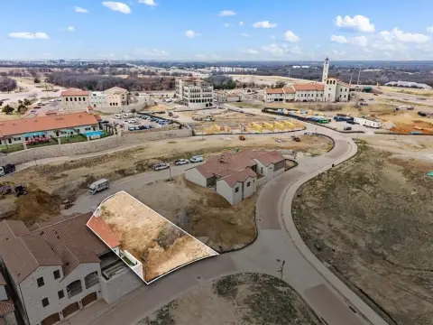
Property Details for 0 S.h. 114 &
- Lot size
- 0.77 lot acres
- Property type
- Land
Description
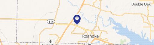
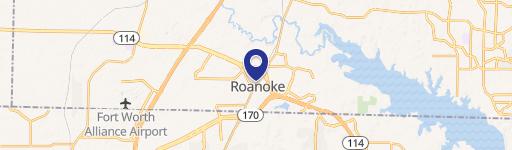
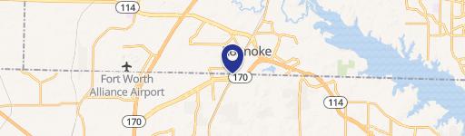
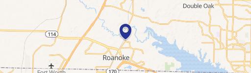
This exceptional 0.77-acre land parcel is strategically located at the Northwest quadrant of State Highway 114 and State Highway 170 in Roanoke, Denton County, Texas, zip code 76262. The property is zoned PD - 2007 - 119, offering significant development potential. Its prime location within the Front 44 at Circle T Ranch – Phase 1, a mixed-use component of the larger Circle T Ranch masterplan, provides immediate access to a robust office and employment base. This presents a unique opportunity for investors and developers seeking to capitalize on the growth and potential of this thriving area. The property's coordinates are 33.0054804 latitude and -97.2187781 longitude. Given its size and zoning, this land is suitable for a variety of commercial developments, making it an attractive investment for those seeking a foothold in a rapidly expanding Texas market. The proximity to major highways ensures excellent accessibility and visibility, further enhancing its appeal. Serious inquiries are encouraged to explore the possibilities this exceptional property offers.
Value Estimations
based on Realmo’s proprietary methodology
-
AI approach
-
CAP approach
-
Comparable approach
-
Alternative Use
Location Insight
- Map
- Local Demand
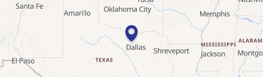
- City
- Roanoke
- County
- Denton
- State
- Texas
- Longitude
- -97.2188
- Latitude
- 33.0055