57 Hwy 196 & Hwy Memphis, TN 38112
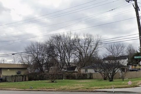
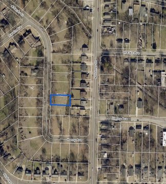
This exceptional 26.55-acre commercial land parcel presents a unique investment opportunity in Memphis, Tennessee. Strategically located at the northwest corner of State Route 57 and State Route 196 in Piperton, Shelby County, this property boasts significant frontage and visibility. The site offers approximately 1,245 feet of frontage along SR 57 and approximately 941 feet along SR 196, ensuring high traffic exposure for any development. The property's zoning is primarily designated for Mixed Use and Commercial purposes, aligning with the City of Piperton's Land Use Plan. A small portion is currently zoned Rural Conservation. The parcel is identified by Tax Map numbers 164 081.00 & 164 081.03. Importantly, a FEMA flood map (47047c0415c, 11/5/2008) confirms the area lies outside the 100-year flood zone, mitigating potential development risks. This prime location, combined with its substantial size and favorable zoning, makes this property ideal for a wide range of commercial ventures. The 38112 zip code provides easy access to Memphis' amenities and infrastructure. This is a rare opportunity to acquire a large, strategically positioned tract of land in a rapidly growing area.
Cap rate
Implied · in-place · derived from last sale + estimated NOIValue
AI, CAP & Alternative Use estimations · Realmo proprietary blendComparables
6 recent transactions · within 1.5 miComparable in this City


Similar Nearby for Sale


Similar Nearby for Lease


Property description
Physical attributes from public recordsZoning & alternative use
No recorded transactions found for this property.
Costs & Benchmarks
Operating expenses, capex projections, utility benchmarks, and submarket comparables — all in one view.
Risks
Flood, climate, environmental, title, and tenant-concentration risk — surfaced with mitigations and source citations.


