
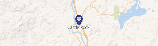
Castle Rock, WA 98611
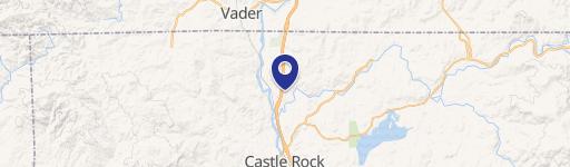
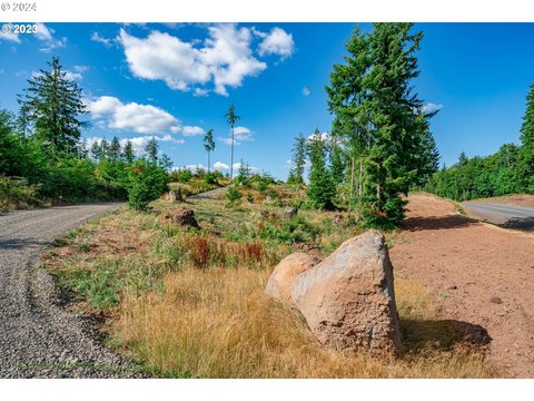
This exceptional 10.45-acre parcel, located in Castle Rock, Washington (zip code 98611, Cowlitz County), presents a remarkable opportunity for commercial or industrial development. The property, identified by parcel number 3009100100, is zoned Mixed Use (MX), allowing for a wide range of uses. A proposed five-lot concept is available, maximizing development potential. Permitted uses include, but are not limited to, light industrial, commercial, office, retail, gas station, convenience store, healthcare facilities, microbreweries, auto repair shops, and auto sales. The asking price for this expansive property is $1,865,000. The seller offers a unique advantage by providing comprehensive construction services, encompassing all phases from initial site work to the completion of finished buildings. This turnkey option streamlines the development process, making this an exceptionally attractive investment for developers seeking a seamless transition from acquisition to operation. The property's address is 70 Ph 10, Castle Rock, WA. Its latitude and longitude coordinates are 46.27749, -122.918922 respectively.
Cap rate
Implied · in-place · derived from last sale + estimated NOIValue
AI, CAP & Alternative Use estimations · Realmo proprietary blendComparables
6 recent transactions · within 1.5 miComparable in this City


Similar Nearby for Sale


Property description
Physical attributes from public recordsZoning & alternative use
No recorded transactions found for this property.
Costs & Benchmarks
Operating expenses, capex projections, utility benchmarks, and submarket comparables — all in one view.
Risks
Flood, climate, environmental, title, and tenant-concentration risk — surfaced with mitigations and source citations.


