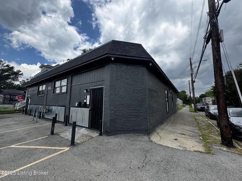
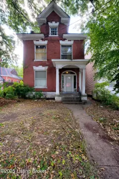
2911 Wilson Ave Louisville, KY 40211
- Commercial real estate
- 0.08 lot acres
Current Use by Public Records
- Commercial real estate
Property Details for 2911 Wilson Ave
- Lot size
- 0.08 lot acres
- Property type
- Commercial real estate
- APN
- 049D01060000
Description
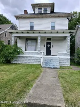
This exceptional 0.08-acre residential land parcel, located at 2911 Wilson Ave in Louisville, Kentucky (Jefferson County, zip code 40211), presents a unique investment opportunity. Zoned R-6 - Residential Multi-Family District, this flat lot boasts convenient access to all utilities at the street. Its prime location between Catalpa St. and Wilson Ave. ensures excellent visibility, making it ideal for various multi-family development projects. The property's legal description indicates a size of 0.07540 acres, with a price per acre of $337,500. Nearby major streets include 28th St and Southern Ave, providing easy access to the surrounding area. Highway access is readily available via I-264, with the 2054/2056 Bells Lane exit offering a convenient route. The property is also conveniently located just half a mile from Cane Run Road and 0.08 miles from Wilson Ave. The seller is also offering an adjacent property at 1504 Catalpa Street for $37,000, presenting an opportunity to acquire both lots for a potentially advantageous package deal. The APN is 049D01060000. This is a rare chance to acquire a well-situated, multi-family zoned lot in a desirable Louisville location.
Value Estimations
-
AI approach
-
CAP approach
-
Comparable approach
-
Alternative Use
Get a detailed, property-specific valuation — fast and free
Location Insight
- Map
- Local Demand
- City
- Louisville
- County
- Jefferson
- State
- Kentucky
- Longitude
- -85.8027358
- Latitude
- 38.2315822