
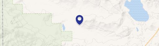
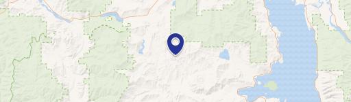
1875 Lower Lost Prairie Rd, Marion, MT 59925
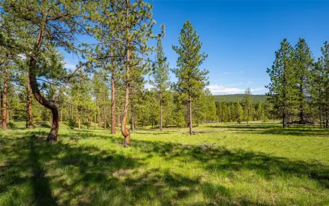
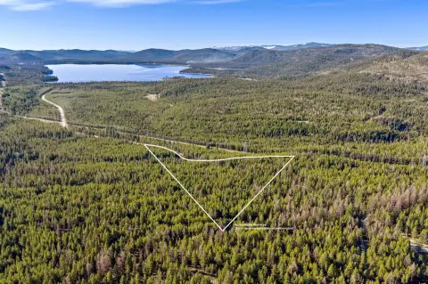
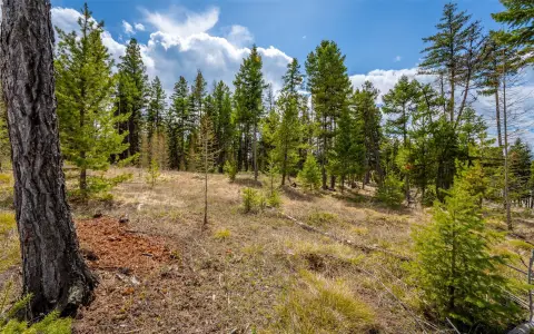
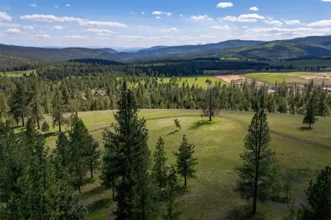
This exceptional 10-acre property, located at 1875 Lower Lost Prairie Road in Marion, Montana, 59925, presents a unique opportunity for off-grid living. Situated in Flathead County, this land boasts a tranquil setting with the headwaters of the Fisher River flowing through its entirety. The property offers several quiet building sites ideal for constructing a cabin or similar structure. Imagine waking up to the sounds of nature, enjoying the peace and quiet of the woods, and having direct access to the river for recreational activities or simply enjoying the stunning natural beauty. The property's size provides ample space for privacy and potential expansion. The asking price for this remarkable piece of Montana land is $182,500. This is a rare chance to own a secluded, riverfront property in a desirable location. The property's coordinates are 48.068849 latitude and -114.785644 longitude. Buyers are responsible for conducting their own due diligence regarding utilities and building permits.
Cap rate
Implied · in-place · derived from last sale + estimated NOIValue
AI, CAP & Alternative Use estimations · Realmo proprietary blendComparables
6 recent transactions · within 1.5 miComparable in this City


Similar Nearby for Sale


Property description
Physical attributes from public recordsZoning & alternative use
No recorded transactions found for this property.
Costs & Benchmarks
Operating expenses, capex projections, utility benchmarks, and submarket comparables — all in one view.
Risks
Flood, climate, environmental, title, and tenant-concentration risk — surfaced with mitigations and source citations.


