
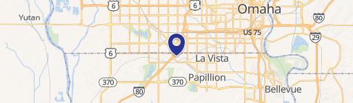
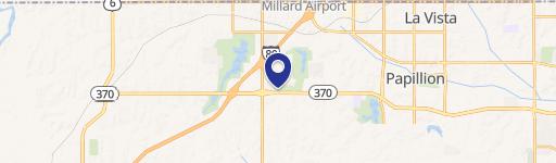
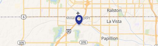
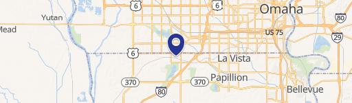
132nd Highway 370, Omaha, NE 68138
This exceptional 74.25-acre commercial land parcel presents a rare development opportunity in Sarpy County, Nebraska's fastest-growing county. Strategically located at the intersection of South 132nd Street and Highway 370, this property boasts exceptional visibility and accessibility, with a daily traffic count of 19,850 vehicles. Currently zoned AG, the land is designated as MU1 on the City of Papillion's future land use map, allowing for high-density residential, office, and commercial development. This is one of the last remaining non-developer-owned parcels east of I-80 and directly fronting Highway 370, offering unparalleled potential for significant return on investment. Its prime location is adjacent to the popular Prairie Queen Recreation Area and Werner Park, providing added value and attracting a desirable demographic. The expansive lot size provides ample space for a variety of development projects, catering to diverse needs and maximizing potential revenue streams. This unique opportunity combines prime location, high visibility, and future zoning potential, making it an ideal investment for discerning developers seeking a substantial land holding in a thriving market. The property's address is S 132nd & Hwy 370, Omaha, NE 68138.
Cap rate
Implied · in-place · derived from last sale + estimated NOIValue
AI, CAP & Alternative Use estimations · Realmo proprietary blendComparables
6 recent transactions · within 1.5 miComparable in this City


Similar Nearby for Sale


Similar Nearby for Lease


Property description
Physical attributes from public recordsZoning & alternative use
No recorded transactions found for this property.
Costs & Benchmarks
Operating expenses, capex projections, utility benchmarks, and submarket comparables — all in one view.
Risks
Flood, climate, environmental, title, and tenant-concentration risk — surfaced with mitigations and source citations.


