
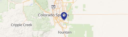
0 Powers Blvd & Airport Rd, Colorado Springs, CO 80916
This exceptional 576,975 square foot commercial property, located at the Northwest corner of South Powers Boulevard and Airport Road in Colorado Springs, Colorado (zip code 80916), presents a compelling investment opportunity. The property boasts a prime location at the west entrance to Peterson Air Force Base, home of the U.S. Space Command Center, benefiting from the base's significant economic impact and high traffic volume. Situated within a Pikes Peak Enterprise Zone, this mixed-use property (Retail, Office, Land) offers substantial advantages. The single, one-story building sits on a large lot ranging from 13 to 59.98 acres, zoned MX-M. Its strategic location provides easy access to Colorado Springs Airport and Interstate 25, placing it within minutes of major transportation arteries. The property is surrounded by numerous large national employers, including Amazon, FedEx, Swire Coca-Cola, Taylor Farms, UTC Aerospace Systems, Serco, and American Tire Distributors, ensuring a robust and growing market. The intersection of Powers Boulevard and Airport Road experiences over 67,000 vehicles per day, providing unparalleled visibility and accessibility. The land value is priced at $8 per square foot. This presents a rare chance to capitalize on the underserved yet rapidly expanding market in this high-growth area. The Class B property offers significant potential for development and market share growth.
Cap rate
Implied · in-place · derived from last sale + estimated NOIValue
AI, CAP & Alternative Use estimations · Realmo proprietary blendComparables
6 recent transactions · within 1.5 miComparable in this City


Similar Nearby for Sale


Similar Nearby for Lease


Property description
Physical attributes from public recordsZoning & alternative use
No recorded transactions found for this property.
Costs & Benchmarks
Operating expenses, capex projections, utility benchmarks, and submarket comparables — all in one view.
Risks
Flood, climate, environmental, title, and tenant-concentration risk — surfaced with mitigations and source citations.


