
0 Maxwell Rd, Bellevue, IL 61604
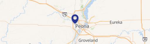
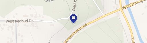
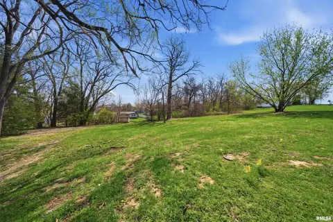
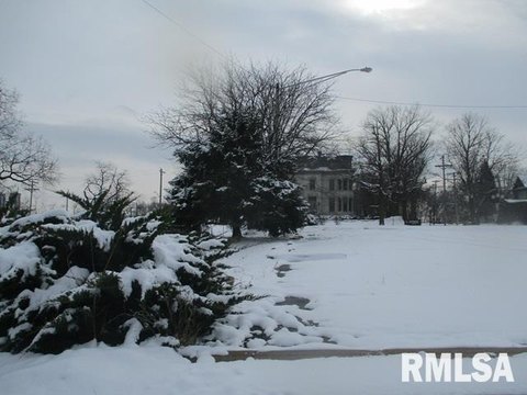
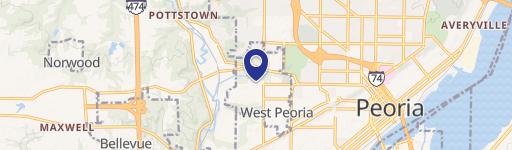
This exceptional 1,300,000 USD property, identified by APNs 17-15-252-011 and 17-15-252-016, presents a unique investment opportunity in Peoria County, Illinois. Located on N Maxwell Rd, near the intersection of Maxwell Road and Middle Road, in the city of Peoria, zip code 61604, this land parcel boasts a highly desirable location less than one mile from Interstate 74, offering unparalleled logistical advantages for distribution businesses. Its proximity to Peoria International Airport and its cargo terminals, a mere 0.7 miles away, further enhances its appeal. Currently utilized as farmland, the property is zoned for agricultural use. The flat terrain simplifies development, and existing utilities are conveniently located at the property line, minimizing infrastructure costs. The seller is a trust and is willing to assist with the zoning process, should a buyer wish to pursue alternative uses. This property is situated within the Peoria Urban Enterprise Zone, potentially offering additional economic incentives. The property's versatility, prime location, and the seller's willingness to cooperate make this a compelling investment opportunity for developers, businesses, or investors seeking a strategic foothold in a thriving area.
Cap rate
Implied · in-place · derived from last sale + estimated NOIValue
AI, CAP & Alternative Use estimations · Realmo proprietary blendComparables
6 recent transactions · within 1.5 miComparable in this City


Similar Nearby for Sale

Similar Nearby for Lease

Property description
Physical attributes from public recordsZoning & alternative use
No recorded transactions found for this property.
Costs & Benchmarks
Operating expenses, capex projections, utility benchmarks, and submarket comparables — all in one view.
Risks
Flood, climate, environmental, title, and tenant-concentration risk — surfaced with mitigations and source citations.


