Current Use by Public Records
- Land
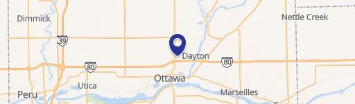
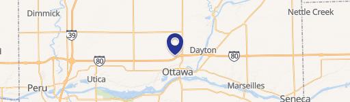
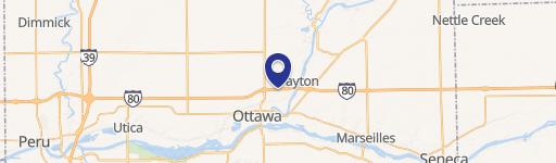
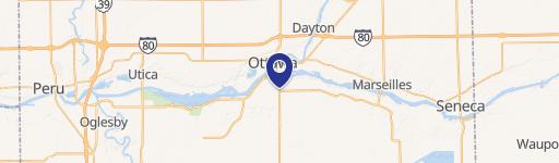
Property Details for Ottawa IL 61350 Stevenson & Mbl Dr
- Lot size
- 10.05 lot acres
- Property type
- Land
- Property subtype
- Industrial properties
Description
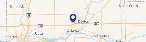
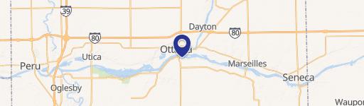
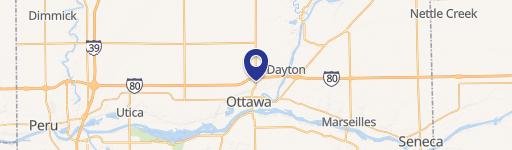
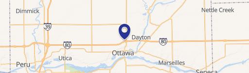
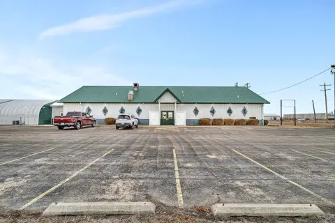
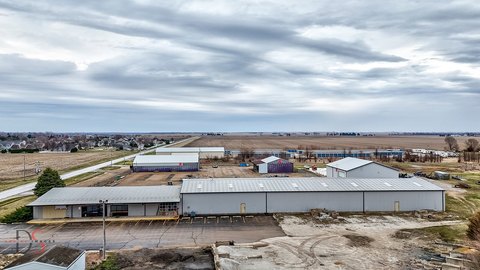
This exceptional 10.05-acre commercial and industrial land parcel presents a remarkable development opportunity in Ottawa, Illinois. Strategically located in the North TIF District and Enterprise Zone, this property enjoys convenient access to the I-80/Rt 23 interchange, offering unparalleled connectivity. Currently used for farming, the land is zoned for Light Industrial, Office, and Research uses (D Zoning), with Commercial zoning (C Zoning) also permitted. The property's prime location near major transportation routes makes it ideal for a variety of commercial and industrial ventures. Furthermore, the possibility of securing federal grants for manufacturing projects adds significant value. The parcel's APN is 14-36-143-000. This is a rare chance to acquire a substantial tract of land in a thriving area with excellent infrastructure and potential for significant returns. The property is situated at the Northwest corner of East Stevenson and Mable Drive, Ottawa, IL 61350 (LaSalle County, zip code 61350). Note that an additional 9.68-acre parcel is also available separately on Stevenson Road.
Value Estimations
-
AI approach
-
CAP approach
-
Comparable approach
-
Alternative Use
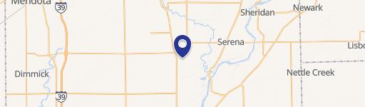
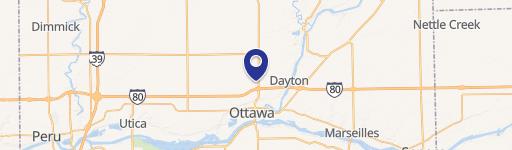
Location Insight
- Map
- Local Demand
- City
- Ottawa
- County
- LaSalle
- State
- Illinois
- Longitude
- -88.8304
- Latitude
- 41.3794