
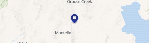
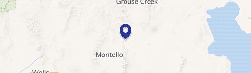
0 Grouse Creek Rd, Grouse Creek, UT 84313
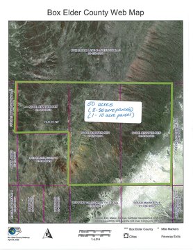
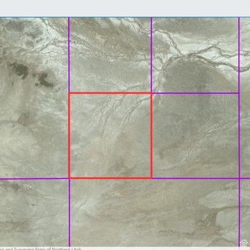
This 40.33-acre parcel of land in Box Elder County, Utah, presents a unique opportunity for outdoor enthusiasts. Located near the Utah/Nevada border, south of Lucin and approximately five miles west of the Sun Tunnels, this property offers easy access via Highway 30, Pilot Mountain Road, and Coal Bank Springs Road. While there's no direct road access, the gentle rolling hills allow for 4WD vehicle access. The land features a diverse landscape of sagebrush, prairie grass, wildflowers, and cactus, supporting wildlife such as rabbits, squirrels, lizards, elk, antelope, and deer. Enjoy stunning views of the eastern mountains and southern salt flats. The terrain includes some rock outcroppings and primarily sandy soil. No structures are visible nearby. The property is zoned Multi-use 160. It's important to note that the seller does not possess any water rights, and no utilities are available in the immediate vicinity. The nearest towns with some services are Grouse Creek to the north and Montello, Nevada to the west
Cap rate
Implied · in-place · derived from last sale + estimated NOIValue
AI, CAP & Alternative Use estimations · Realmo proprietary blendComparables
6 recent transactions · within 1.5 miComparable in this City


Similar Nearby for Sale

Property description
Physical attributes from public recordsZoning & alternative use
No recorded transactions found for this property.
Costs & Benchmarks
Operating expenses, capex projections, utility benchmarks, and submarket comparables — all in one view.
Risks
Flood, climate, environmental, title, and tenant-concentration risk — surfaced with mitigations and source citations.


