
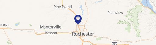
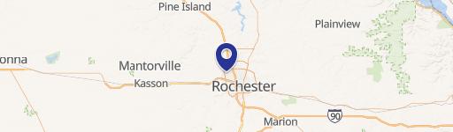
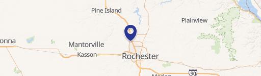
0 50Th Ave, Rochester, MN 55901
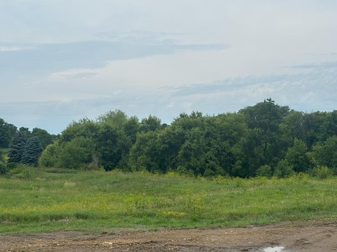
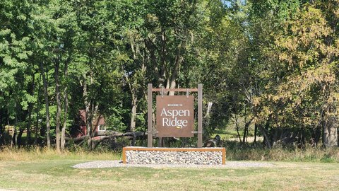
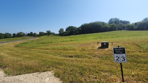
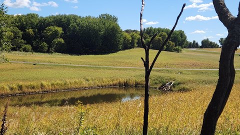
This exceptional 27-acre agricultural property in Olmsted County, Minnesota, presents a compelling investment opportunity. Located near Rochester, MN, with the address of 50th Ave NW, zip code 55901, and APN 742033075985, this tillable land offers significant potential for future development. Its strategic location provides convenient access to Valleyhigh Drive and is proximate to existing developments, making it an attractive prospect for various projects. The property's size and agricultural classification provide flexibility for a range of uses, subject to local zoning regulations. The land's proximity to Rochester, a growing city in Minnesota, further enhances its value and potential for appreciation. Detailed surveys and environmental assessments are recommended to fully understand the property's potential and to comply with all applicable regulations before any development plans are undertaken. This parcel presents a rare chance to acquire a substantial land holding in a desirable location with strong growth prospects. Interested parties should conduct their own due diligence to confirm all details and suitability for their intended use. The latitude and longitude coordinates are 44.054065351573215 and -92.53881118943761 respectively.
Cap rate
Implied · in-place · derived from last sale + estimated NOIValue
AI, CAP & Alternative Use estimations · Realmo proprietary blendComparables
6 recent transactions · within 1.5 miComparable in this City


Similar Nearby for Sale

Similar Nearby for Lease


Property description
Physical attributes from public recordsZoning & alternative use
No recorded transactions found for this property.
Costs & Benchmarks
Operating expenses, capex projections, utility benchmarks, and submarket comparables — all in one view.
Risks
Flood, climate, environmental, title, and tenant-concentration risk — surfaced with mitigations and source citations.


