Current Use by Public Records
- Land
Property Details for 6000 Oh-95
- Lot size
- 24.20 lot acres
- Property type
- Land
Description
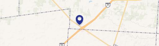
This exceptional 24.2-acre commercial land parcel presents a unique investment opportunity in Morrow County, Ohio. Strategically located at the intersection of State Route 95 and State Route 71 in Mount Gilead (zip code 43338), this property boasts unparalleled visibility and accessibility. The expansive lot offers significant flexibility for a wide range of commercial developments, making it ideal for businesses seeking high-traffic exposure. Buyers can purchase the land outright for $1,934,996. Alternatively, lease options and build-to-suit arrangements are available, providing considerable adaptability to individual business needs and expansion plans. The property's prime location near the intersection of two major roadways ensures high visibility and convenient access for customers and employees. This presents a rare chance to establish a thriving commercial enterprise in a dynamic and growing area. Serious inquiries are encouraged to explore the full potential of this exceptional commercial land offering. The latitude and longitude coordinates are 40.496708 and -82.720434 respectively.
Value Estimations
-
AI approach
-
CAP approach
-
Comparable approach
-
Alternative Use
Location Insight
- Map
- Local Demand
- City
- Mount Gilead
- County
- Morrow
- State
- Ohio
- Longitude
- -82.7204
- Latitude
- 40.4967