Current Use by Public Records
- Land
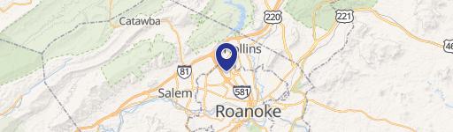
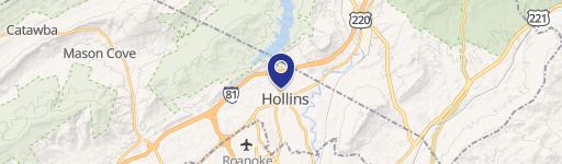
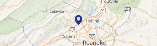
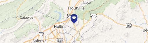
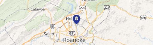
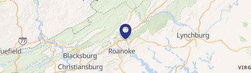
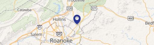
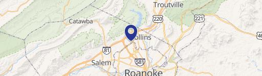
Property Details for 7679 Sanderson Dr
- Lot size
- 27.09 lot acres
- Property type
- Land
- Property subtype
- Industrial properties
Description
This exceptional 27.09-acre industrial land parcel, located at 7679 Sanderson Drive in Roanoke, Virginia (zip code 24019), presents a significant investment opportunity. Zoned I-1 for light industrial use, this property boasts a convenient location near Route 11 and Interstate 81, offering excellent accessibility. The site features open fields and includes a two-story farmhouse and outbuildings, conveyed "as is." Please note that while Roanoke County GIS lists the acreage as 26.99 acres, the recent attached plat shows 27.09 acres. All acreage is deeded in Roanoke County, although a portion of tax parcel 028.01-01-30.00-0000 borders Botetourt County. The property is currently designated for land use. The seller retains an easement for access to well/utilities serving 7816 Sanderson Drive and reserves materials from the demolition of two barns on the site. The APN is 028.01-01-30.00-0000 / 028.01-01-29.00-0000. All acreage and tax information is estimated
Value Estimations
-
AI approach
-
CAP approach
-
Comparable approach
-
Alternative Use
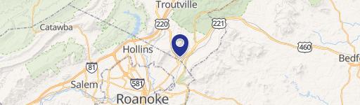
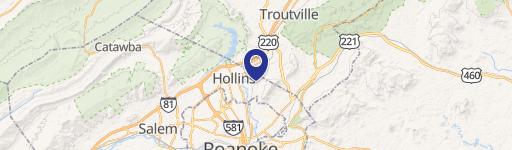
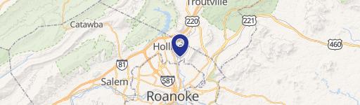
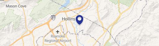
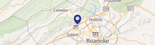
Location Insight
- Map
- Local Demand
- City
- Hollins
- County
- Roanoke
- State
- Virginia
- Longitude
- -79.9192
- Latitude
- 37.3524