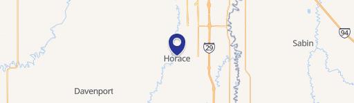
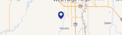
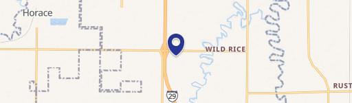
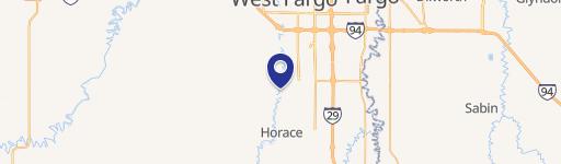
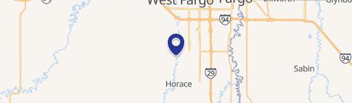
I-29 Ave Fargo, ND 58047
Property profile & analytics
Location Intelligence
Current Use by Public Records
- Land
Property Details for I-29 Ave
- Lot size
- 1.23 lot acres
- Property type
- Land
Description
This exceptional offering presents a rare opportunity to acquire premier commercial development land in Fargo, North Dakota. Strategically located at the intersection of I-29 and 52nd Avenue South in Cass County, these parcels offer unparalleled visibility and accessibility. The available land ranges from a generous 2.07 acres to a substantial 4.83 acres, providing flexibility for a variety of development projects. The property is zoned for commercial use, opening doors to a wide spectrum of possibilities, from retail and office spaces to hospitality and industrial ventures. This prime location benefits from high traffic counts due to its proximity to the interstate, ensuring significant exposure for any future development. The site's ideal location within Fargo's thriving commercial corridor promises strong returns on investment. Detailed parcel information is available upon request. Don't miss this chance to secure a piece of Fargo's dynamic commercial landscape. The zip code for this property is 58047. The latitude and longitude coordinates are 46.710166 and -96.8307246 respectively. This is a truly exceptional opportunity for developers seeking a high-impact location in a rapidly growing market.
Value Estimations
based on Realmo’s proprietary methodology
-
AI approach
-
CAP approach
-
Comparable approach
-
Alternative Use
Location Insight
- Map
- Local Demand
- City
- Fargo
- County
- Cass
- State
- North Dakota
- Longitude
- -96.8307
- Latitude
- 46.7102