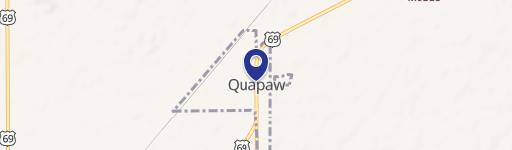
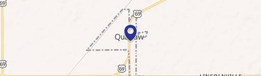
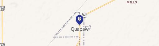
0 675 Rd Quapaw, OK 74363
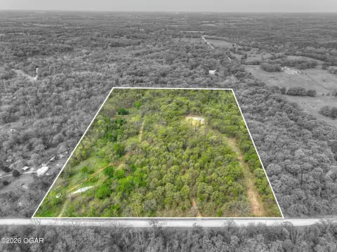
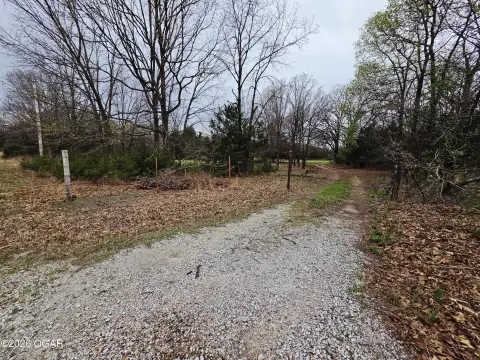
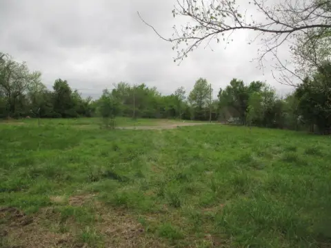
This exceptional 379-acre property in Ottawa County, Oklahoma, presents a unique investment opportunity. Located near Peoria, OK, with the address S 675 Rd, zip code 74363 (latitude 36.9044385, longitude -94.6712211), this expansive land parcel boasts diverse uses. The property features a semi-active Tripoli mine, offering potential for continued extraction and processing. Supporting infrastructure, including nearby drying and milling facilities, enhances the operational viability of the mine. Beyond the mining aspect, the land is heavily wooded, making it ideal for hunting enthusiasts. The property is well-maintained, with good fencing and gates encompassing the entire area. Two ponds add to the aesthetic appeal and potential for wildlife. This substantial acreage (16,509,240 square feet) is offered at $2,084,500. Note that an additional 821 acres are situated just east of this property, presenting a potential expansion opportunity for the right buyer. This versatile property is suitable for agricultural pursuits, hunting, and mining operations, making it a compelling investment in Oklahoma's rural landscape. The property is located in Quapaw, Oklahoma.
Cap rate
Implied · in-place · derived from last sale + estimated NOIValue
AI, CAP & Alternative Use estimations · Realmo proprietary blendComparables
6 recent transactions · within 1.5 miComparable in this City


Similar Nearby for Sale
Property description
Physical attributes from public recordsZoning & alternative use
No recorded transactions found for this property.
Costs & Benchmarks
Operating expenses, capex projections, utility benchmarks, and submarket comparables — all in one view.
Risks
Flood, climate, environmental, title, and tenant-concentration risk — surfaced with mitigations and source citations.


